Mix of swells Tuesday, easing Wednesday with improving winds

Eastern Tasmania Forecast by Craig Brokensha (issued Friday 13th March)
Best Days: Monday morning south swell magnets, Wednesday when winds swing offshore
Recap
Tiny to flat waves with no decent surfing options.
 This weekend and next week (Mar 14 – 20)
Tomorrow is expected to remain tiny but a S'ly change early Sunday should kick up a weak S'ly windswell for Sunday to 2ft+ across south facing beaches but with poor S/SW tending S/SE winds.
A drop in size is due Monday from 2ft across south swell magnets and with morning offshores.
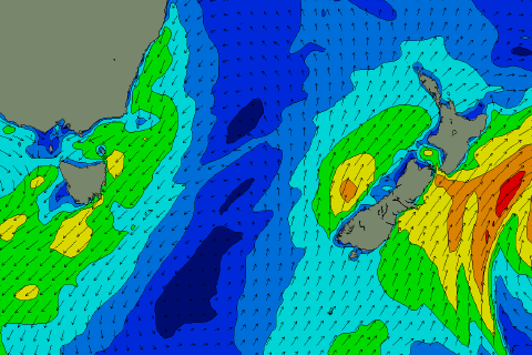
Into Tuesday and Wednesday a mix of inconsistent S'ly and E/NE groundswell and NE windswell are due into the afternoon. The S'ly groundswell will be generated by a strong polar low and should kick to 2ft across south swell magnets, with the E/NE groundswell produce by Severe Tropical Cyclone Pam drifting quickly south into an established trade-flow above New Zealand.
This swell will be very inconsistent and is only due to come in at 2ft to occasionally 3ft across north-east facing beaches into the afternoon and Wednesday morning.
A bigger NE windswell is due to develop later through the day though as a fetch of strengthening NE winds are aimed into our coast Tuesday afternoon, reaching a peak overnight before pushing off to the east Wednesday.
This should kick up 2-3ft of NE windswell late, easing from 3ft+ or so Wednesday morning as winds swing offshore.
Beyond this there's nothing major on the cards until a strong front pushes across us next weekend, but more on this Monday. Have a great weekend!