Easing swells over the coming days; solid and punchy from the SE next week

South-east Queensland and Northern NSW Surf Forecast by Ben Matson (issued Wednesday 14th June)
Best Days: Thurs: smaller waves across Goldy points. Mon/Tues: strong SE swell building across Northern NSW though windy form the south. Smaller in SE Qld but good clean outer points.
Recap: Northern NSW and the Gold Coast have seen some pretty sizeable surf over the last few days, reaching 6ft+ at exposed beaches late Tuesday and then slowly easing in size today. Gusty S’ly winds have confined the best waves to protected points. The Sunshine Coast hasn’t seen as much size as locations further south (owing to a less favourably aligned fetch). South of the border there’s been little options out of the wind, and south of about Yamba wave heights have been smaller than up north. Maximum surf size for this even has really been concentrated between the Gold Coast and Ballina.
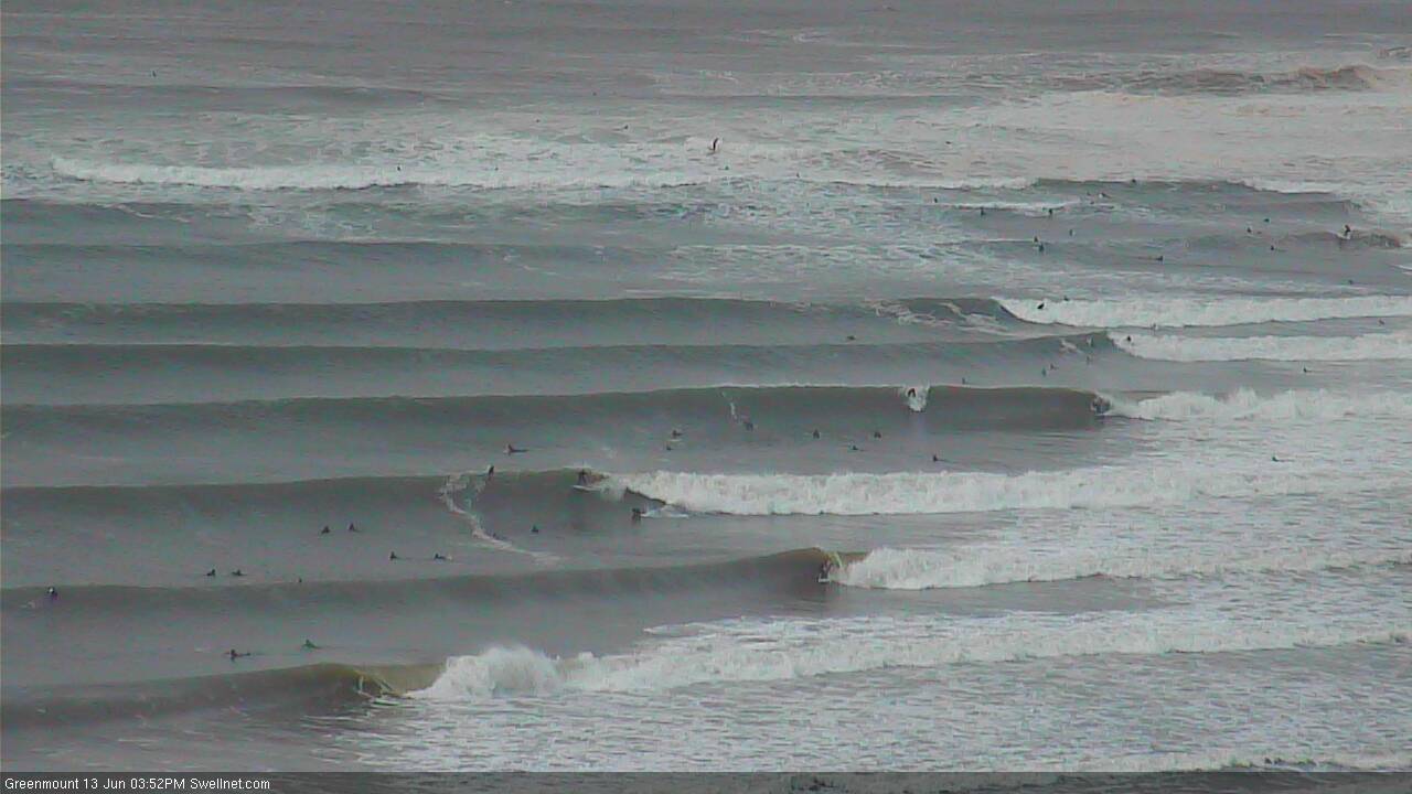
Bowlalicious on Tuesday afternoon!
This week (Jun 15- 16)
A high pressure ridge in the southern Tasman Sea and a broad low pressure trough between the southern Queensland coast and New Caledonia are responsible for the fetch that generated our most current swell. It is however weakening so surf size will gradually ease over the coming days.
That being said, the trough will linger off the southern Queensland coast - and is expected to extend south, parallel to the NSW coast over the weekend - so will maintain fresh S’ly winds for much of the forecast period. Lighter winds are expected south of Coffs though from the same general direction, perhaps more broader in spatial range (early SW, tending S then SE).
Surf size will still remain largest across Far Northern NSW and the Gold Coast (4ft open beaches Thursday morning), with smaller surf south from Coffs and also across the Sunshine Coast. Expect wave heights to lose a foot or so into the afternoon, then ease further through Friday.
Protected locations will see smaller surf size than these estimates but they’ll offer the best conditions under the southerly breeze.
Also in the water on Thursday - across Northern NSW only - will be a small inconsistent signal of southerly groundswell, generated by a tricky, unfavourably aligned front that pushed through the lower Tasman Sea earlier this week.
However, model guidance is usually not particularly reliable from these systems so the fact that WaveWatch III is estimating up 1.3m at 15-16 seconds (off Coffs Harbour) around lunchtime Thursday - which our surf model is translating to 3-4ft sets at south facing beaches - is very encouraging indeed.
If anything I should be using prior experience as a guidance and increasing my own forecast well above this figure, but I simply can’t see there being much more size than this from such a poorly aligned (though quite powerful) fetch.
This swell will then ease slowly throughout Friday however Craig picked up a small source of new SE swell (again, for Northern NSW) that I missed in Monday’s notes - a deep polar low south of New Zealand earlier in the week (the dynamic Tasman charts must have swayed my attention from the remote southern latitudes).
Again, model guidance is rather strong with 1.2m at 12.2 seconds from the S/SE later Friday (using the Coffs data point as a reference once again), which should in theory translate to 3ft at some south facing beaches. However these SE swells are equally flukey and the large travel distance will probably create very inconsistent set waves.
In any case, the accompanying southerly winds will bump up those south facing beaches picking up the most size. However, across some beaches the mix of south and east swells should produce tasty A-frames so if you can find some shelter from the wind you’ll do quite well.
This weekend (Jun 17 - 18)
Freshening S’ly tending S/SW winds are expected all weekend as a trough along the East Coast strengthens.
Initially, Saturday morning should be OK with moderate wind strengths but they’ll pick up throughout the day and Sunday looks at this stage to be very gusty indeed.
Unfortunately, Saturday morning’s better conditions will be accompanied but a decreasing swell trend from the S/SE, though we will see a small new E’ly swell from the infeed into the Tasman trough. Open beaches may pick up some 2ft+ sets from both sources but it’s hard to have much confidence in there being any great waves. The SE Qld outer points don't like small, inconsistent long range E'ly swells very well so I'd keep your expectations low for Saturday.
Sunday will see conditions deteriorate at open beaches as the southerly picks up strength. We will see a concurrent increase in short range windswell, though only south facing beaches south of Byron will pick up any appreciable size and they’ll be choppy.
Elsewhere, the small E’ly swell probably won’t reach much more than an inconsistent 2ft+ at open beaches - the infeed isn’t expected to gain much strength - however a building ridge further east should supplement some small waves at exposed beaches.
All in all it looks like a dreary weekend of waves ahead. Don’t get too excited - I’ll update on Friday, hopefully with some better news.
Next week (Jun 19 onwards)
The models have moved around a little since Monday’s notes.
And interestingly, the area I wanted to keep a watch on - the eastern flank of the Tasman trough - is now expected to swing in favour of a decent swell generating system - though initially for Northern NSW. The approaching LWT is now likely to have less influence so we’re looking at a broad trough across the entire Tasman Sea, with several fetches generating surf for us.
At this stage it appears that we’ll see Sunday’s gusty southerly winds persist from Monday through Wednesday. A developing E/SE fetch at the bottom flank of the Tasman trough will generate strong SE swells for the Mid North and perhaps Far Northern NSW coasts (though smaller with increasing northerly latitude from Coffs), but the accompanying southerly winds will render all but the most protected locations very choppy. Exposed beaches should see 6ft+ sets but what I like about this system is its stationary nature, and the extra east component in the swell direction. Sheltered points should do really well on Monday and Tuesday.
SE Qld will dip out in the size department from this system, with size likely to be capped around 3ft+ across the outer points. They’ll be clean under the southerly breeze though. Exposed beaches will be bigger but much more wind affected.
This looks like being the dominant system in our swell window for all of next week. So buckle in!
Comments
Bank is much further outside at Currumbin but jeez it's looking nice!