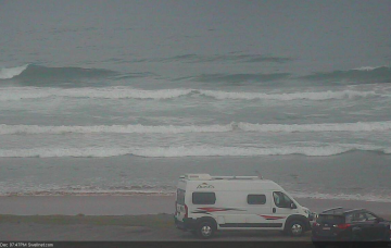
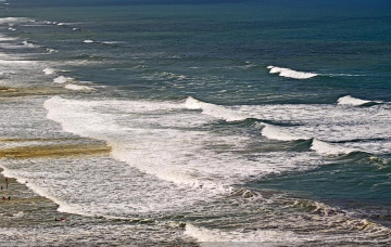
The main synoptic features right now are two surface troughs, one off the Central Qld coast and the other off the Mid North Coast. More in the Forecaster Notes.
Primary tabs
/reports/forecaster-notes/south-east-queensland-northern-new-south-wales/2020/12/30/stacks-mid-range
thermalben
Wednesday, 30 December 2020
/reports/forecaster-notes/south-east-queensland-northern-new-south-wales/2020/12/28/local-andor
thermalben
Monday, 28 December 2020
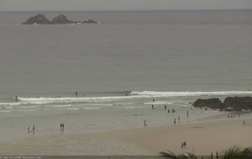
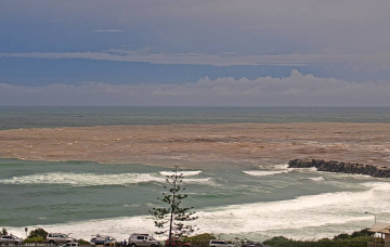
A reasonable ridge is building through the lower Coral Sea, and will extend out across the Northern Tasman Sea over the coming days. This will be a useful source of E’ly swell for most coasts. More in the Forecaster Notes.
/reports/forecaster-notes/south-east-queensland-northern-new-south-wales/2020/12/26/nothing-too
thermalben
Saturday, 26 December 2020
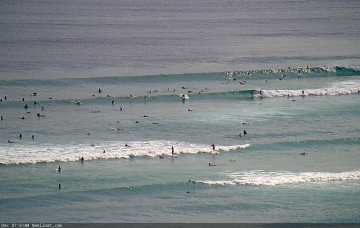
The short term outlook is somewhat craptacular for a few regions over the next few days, but from Thursday onwards it’s starting to look pretty juicy everywhere. More in the Forecaster Notes.
/reports/forecaster-notes/south-east-queensland-northern-new-south-wales/2020/12/23/little-more
thermalben
Wednesday, 23 December 2020
If I were basing the outlook on model guidance alone, it'd be easy to assume that the peak of the swell had passed today and size would therefore ease steadily from tonight onwards. More in the Forecaster Notes.

/reports/forecaster-notes/south-east-queensland-northern-new-south-wales/2020/12/21/tricky-forecast
thermalben
Monday, 21 December 2020
Before we get into the cyclone swell outlook, there’s been a local synoptic developments in the models since Friday that will be our short term focus. More in the Forecaster Notes.

/reports/forecaster-notes/south-east-queensland-northern-new-south-wales/2020/12/18/active-festive
thermalben
Friday, 18 December 2020
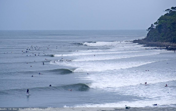
I’m normally quite skeptical about swell potential from tropical cyclones, and prefer to downplay surf prospects unless there’s a lot of supporting evidence elsewhere. In the case of Severe TC Yasa, there are actually quite a few positives but also a few negatives. More in the Forecaster Notes.
/reports/forecaster-notes/south-east-queensland-northern-new-south-wales/2020/12/17/coastal
thermalben
Thursday, 17 December 2020
It's a very dynamic forecast, and all eyes are on Severe TC Yasa.
/reports/forecaster-notes/south-east-queensland-northern-new-south-wales/2020/12/14/large-easing-then
thermalben
Monday, 14 December 2020
I suppose at this juncture we can talk in broad brushstrokes, because the state of the surf for the short term will be heavily dependent on just a couple of factors: (1) the state of the banks, following this scouring swell event, and (2) whether the modeled N/NE winds get up to strength. More in the Forecaster Notes.
/reports/forecaster-notes/south-east-queensland-northern-new-south-wales/2020/12/11/large-wet-and
thermalben
Friday, 11 December 2020
Of course, Monday will be huge. You don’t need me to tell you that. And most breaks - even many points and sheltered spots - will be a wash out. More in the Forecaster Notes.
/reports/forecaster-notes/south-east-queensland-northern-new-south-wales/2020/12/09/long-run-sizeable
thermalben
Wednesday, 9 December 2020
The main focus for the weekend is a stationary ridge of high pressure across the southern Tasman Sea, cradling a deepening trough across the Coral Sea. It's an exciting synoptic chart! More in the Forecaster Notes.