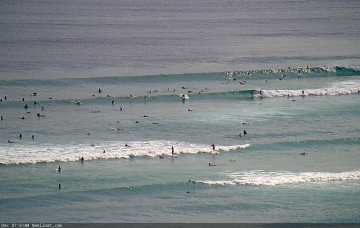
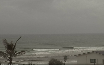
The long running easterly swell machine that’s provided an extended period of useful trade swells is finally drawing to a close. But there's a stack of south swlel on the way. More in the Forecaster Notes.
Primary tabs
/reports/forecaster-notes/south-east-queensland-northern-new-south-wales/2021/01/15/and-it-came-the
thermalben
Friday, 15 January 2021
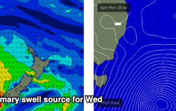
/reports/forecaster-notes/south-east-queensland-northern-new-south-wales/2021/01/13/dynamic-forecast
thermalben
Wednesday, 13 January 2021
We're coming to the end of a long E'ly swell cycle, as a strong S'ly swell cycle starts to take shape. More in the Forecaster Notes.

/reports/forecaster-notes/south-east-queensland-northern-new-south-wales/2021/01/11/reasonable-week
thermalben
Monday, 11 January 2021
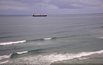
Looks like a fun week of useful trade swell across most coasts. And there's a whole stack of south swell for next week. More in the Forecaster Notes.
/reports/forecaster-notes/south-east-queensland-northern-new-south-wales/2021/01/08/more-the-same
thermalben
Friday, 8 January 2021
There’s plenty of surf due next week but no major size. More in the Forecaster Notes.
/reports/forecaster-notes/south-east-queensland-northern-new-south-wales/2021/01/06/plenty-surf
thermalben
Wednesday, 6 January 2021
Gusty S/SE winds will dominate the rest of the week, though it’ll actually originate from a second change currently pushing into Southern NSW (this afternoon’s change was associated with a local trough).
/reports/forecaster-notes/south-east-queensland-northern-new-south-wales/2021/01/04/peaky-options
thermalben
Monday, 4 January 2021
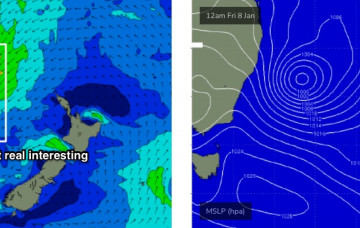
First up: swell. There won’t be any shortage of it this week, thanks to a broad ridge north of New Zealand. More in the Forecaster Notes.
/reports/forecaster-notes/south-east-queensland-northern-new-south-wales/2021/01/01/typical-summer
thermalben
Friday, 1 January 2021
We’ve got building E’ly swells for SE Qld and Far Northern NSW, originating primarily from a broad, complex series of surface troughs across the lower Coral Sea. More in the Forecaster Notes.
/reports/forecaster-notes/south-east-queensland-northern-new-south-wales/2020/12/30/stacks-mid-range
thermalben
Wednesday, 30 December 2020
The main synoptic features right now are two surface troughs, one off the Central Qld coast and the other off the Mid North Coast. More in the Forecaster Notes.
/reports/forecaster-notes/south-east-queensland-northern-new-south-wales/2020/12/28/local-andor
thermalben
Monday, 28 December 2020
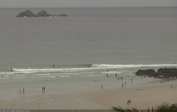
A reasonable ridge is building through the lower Coral Sea, and will extend out across the Northern Tasman Sea over the coming days. This will be a useful source of E’ly swell for most coasts. More in the Forecaster Notes.
/reports/forecaster-notes/south-east-queensland-northern-new-south-wales/2020/12/26/nothing-too
thermalben
Saturday, 26 December 2020
The short term outlook is somewhat craptacular for a few regions over the next few days, but from Thursday onwards it’s starting to look pretty juicy everywhere. More in the Forecaster Notes.