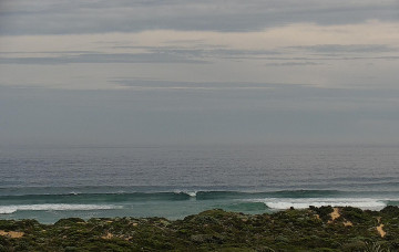
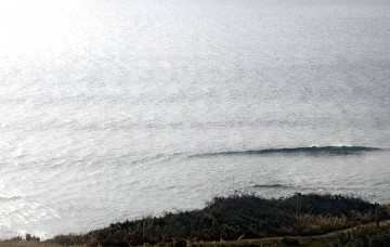
Window of good winds and swell over the weekend before S'lies kick in again next week
Friday, 21 October 2022
Window of good winds and swell over the weekend before S'lies kick in again next week
Friday, 21 October 2022
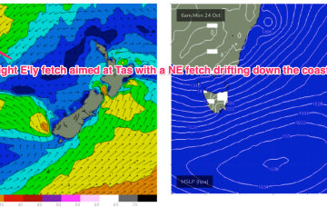
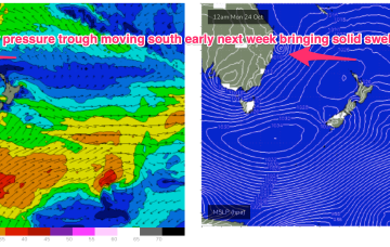
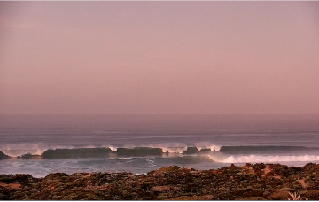
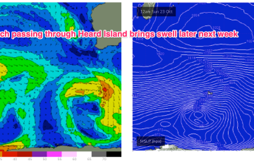
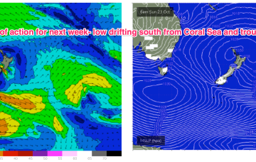
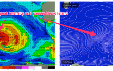
Late Wed will see the next increase in swell and the system responsible, a polar low which intensifies as it passes Heard Island Sun, now looks stronger and less zonal, with a swathe of 30ft seas sending groundswell to WA.