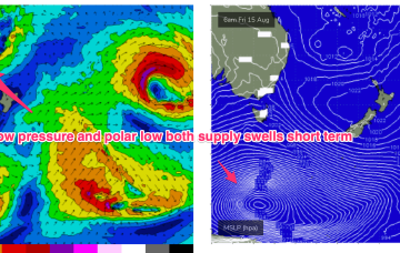
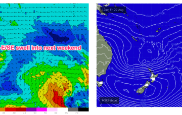
Uncertain outlook next week- surf possible 
Friday, 15 August 2025
Uncertain outlook next week- surf possible
Friday, 15 August 2025
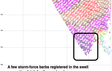
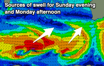
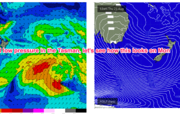
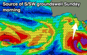
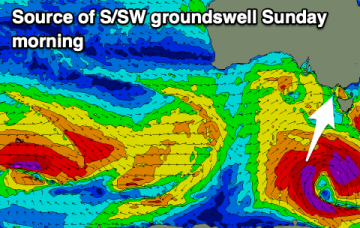
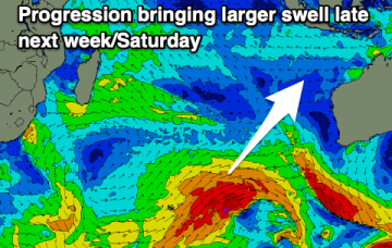
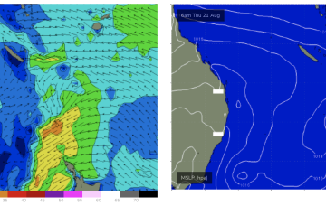
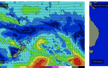
That will be the anvil for any hammer that forms next week. We may see a trough form along the QLD coast in the sub-tropics with a strong E/NE-NE infeed developing from the Coral Sea/Northern Tasman (ECMWF scenario).