Plenty of fun windows to work around

Western Australian Forecast by Ben Matson (issued Wednesday May 7th)
Features of the Forecast (tl;dr)
- Tiny surf on the metro beaches Thurs/Fri
- Easing size in Margs Thurs/Fri with light NE tending N'ly winds
- Nice surf in Margs on Sun AM with early offshore winds
- Series of strong groundswells building from next Mon thru' into the weekend, Wed currently the pick, Fri to see the most size
Recap
Great waves in Margs over the last two days with light winds and clean 4-6ft surf at exposed spots. Nice small options across the metro beaches Tuesday around 2ft but smaller today and not really worthwhile.
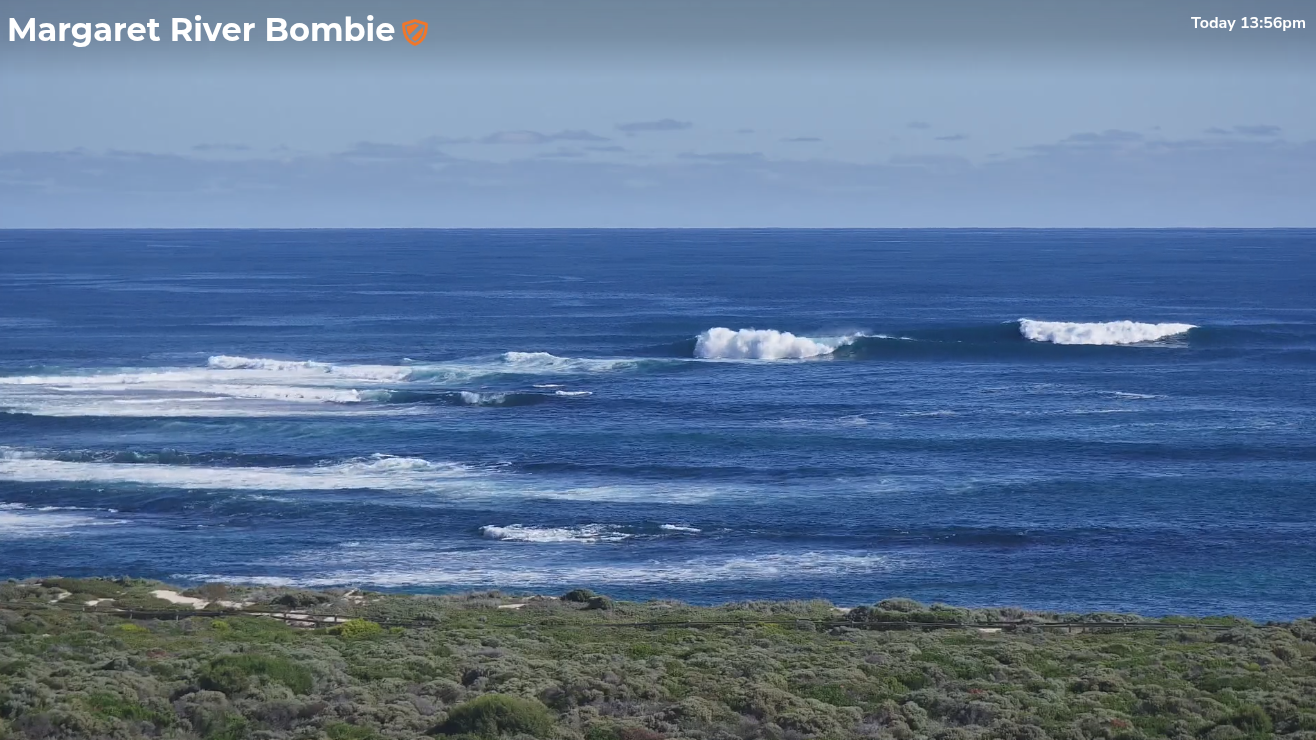
Glassy sets in Margs this afternoon
This week (May 6 - 9)
Conditions are looking great across all coasts for the next few days, with early E/NE winds tending NE through the mornings, before veering N/NE into the afternoons but without too much strength. So most locations should be clean.
Unfortunately, wave heights are on the way down and with current surf size already very small across the metro beaches, there’s not much action on the radar for Perth or Mandurah.
The lower SW will however deliver some great waves across the open beaches and small wave reefs on Thursday in the 3-4ft range, before dropping into much smaller territory on Friday where only the swell magnets will have anything worthwhile. So, make the most of Thursday if you can.
This weekend (May 10 - 11)
A weak trough will cross the coast overnight Friday, bringing a modest S/SW change to the region that will veer S’ly into Saturday. Winds strengths won’t be much in Mandurah and Perh but Margs will become blown out so it’s not looking too good for surf here.
However a new swell is expected to arrive during the day, generated by a small cut off low in the central/southern Indian Ocean this week.
Saturday’s risk (for metro beaches) is that the swell may not arrive until the afternoon, by which time the sea breeze may already be in effect. We’re looking at 2ft surf here by the end of the day, whilst Margs is likely to build to 4-5ft.
Sunday should see some early leftovers of a similar size range (all coasts) before it eases through the day, and conditions are looking much better across the region with morning E/SE winds ahead of freshening afternoon sea breezes.
So pencil in a possible arvo surf across the metro beaches, or Sunday morning across most coasts.
Next week (May 12 onwards)
The southern Indian Ocean is looking very active for the long term. A strong succession of fronts and lows are already developing south of Africa, and will march through the swell window through to WA longitudes over the coming week, each working on the pre-existing active sea state from the last system, generating successively bigger swells for the region.
The first swell is due to arrive on Monday afternoon (4-6ft), with a temporary easing trend on Tuesday before another strong swell then arrives Wednesday ahead of a major peak through Thursday and Friday before wave heights taper off into the weekend.
At its height, next Friday could become quite large (10ft+ Margs) though the accompanying winds are likely to create some surface issues. Wednesday currently looks to be the pick with light variable winds and size in the 6-8ft range.
Let’s take a closer look at this on Friday.