Slower, trickier period

Western Australia Surf Forecast by Craig Brokensha (issued Friday September 24th)
Best Days: Keen surfers in the South West tomorrow morning, and Tuesday morning
Features of the Forecast (tl;dr)
- Easing mix of swells Sat with strong E/SE tending fresh SE winds
- Smaller Sun with mod-fresh S/SE winds and PM sea breezes
- Small, mid-period SW swell building Mon with strengthening SE tending S/SE winds, easing Tue with fresh E/NE tending N/NE winds
- Secondary, inconsistent SW groundswell Tue PM and Wed AM with strong N/NE tending NW winds
- Inconsistent SW groundswell Thu with strong NW winds, easing Fri with NW winds
Recap
Not the cleanest conditions across the regions yesterday with winds having a more southerly bias and strengthening through the day. Early was the pick with fun surf to 3-5ft across the South West, tiny to the north.
Today a very infrequent W/SW groundswell due across the state looked a little slow going. The South West is a very slow 4-5ft on the sets, but mostly 3-5ft while Mandurah is 1-2ft and Perth 1-1.5ft.
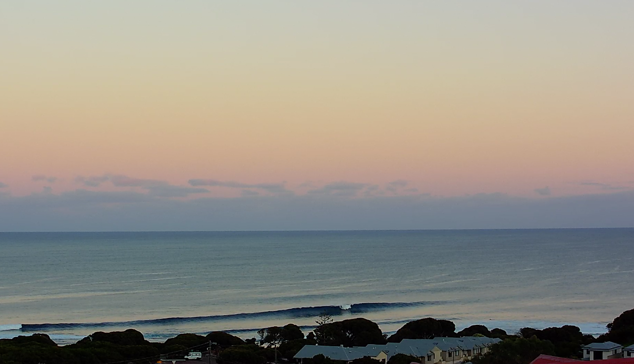
Long wait for some decent sets this morning
This weekend and next week (Sep 25 – Oct 1)
The coming period in short is quite flukey regarding swell sources and local winds. There's nothing solid or reliable on the cards as spring kicks in proper.
Today's inconsistent W/SW groundswell should reach 5-6ft on the sets across the South West and 1-2ft across both Perth and Mandurah as winds shift S/SE and strengthen in the South West, remaining offshore from the E/SE-SE in Perth and Mandurah.
The swell will ease back through tomorrow with infrequent, easing sets from 4-5ft in the South West, 1-1.5ft in Perth and Mandurah though under a strong E/SE breeze. These winds should ease through the day and tend a little more SE.
Sunday looks smaller and with less favourable, moderate to fresh S/SE winds, ahead of strong sea breezes.
Winds will strengthen from the SE tending S/SE on Monday as a trough deepens off our South Coast, forming into a low pressure system. The make up of this low now looks poor for generating any swell for the South West, let alone Perth and Mandurah with it aiming a fetch of strong S/SE winds into the Indian Ocean.
A small, mid-period SW swell is due into Monday afternoon from a weak polar frontal progression, generating strong W/NW winds through our swell window east of Heard Island. This swell isn't expected to top 3-4ft late in the day, easing from the same size Tuesday morning (tiny in Perth and Mandurah).
Winds will be much better Tuesday morning and fresh from the E/NE, tending N/NE through the day as the swell eases.
Into the afternoon Tuesday and more so Wednesday, another small swell is due from a distant storm, south-east of South Africa.
This isn't expected to offer much in the way of size with infrequent 3-4ft+ sets due across the South West, tiny to the north again. Conditions will start to deteriorate as a broad, slow moving mid-latitude low starts to edge in from the west, bringing strong N tending NW winds.
 N/NW-NW winds look to linger into Thursday, spoiling the stronger SW groundswell due from a stronger polar low forming west of the Heard Island region.
The polar low linked to Thursday's swell is still a bit hit and miss with the best swell generating fetch aimed into the South Pole. We'll see a slimmer fetch of severe-gale W'ly winds firing up on the polar shelf around the Heard Island region (shown right), producing an inconsistent 5-6ft wave across the South West with 1-2ft sets in Perth and Mandurah.
Longer term the low will continue to influence our weather and winds into Friday and Saturday with onshore NW breezes most likely along with plenty of rain. Longer term there's nothing too major on the cards but more on this Monday. Have a great weekend!