Strong swell enroute, but dicey winds at the peak

Victorian Forecast by Ben Matson (issued Wednesday May 14th)
Features of the Forecast (tl;dr)
- New swells Thurs, strong swell building Fri with generally good winds
- Large swell Sat but poor winds, easinfg Sun but still tricky winds
- Smaller Mon/Tues with better conditions
- Chance for a solid long period swell around next Fri
Recap
Small clean leftovers on Tuesday morning provided fun waves across the open beaches, around 2ft west of Melbourne and 3ft east of Melbourne. Wave heights eased a touch into the afternoon and this morning (with continuing clean conditions) but have slowly built through the day - though it’s presently coming in just under size expectations, holding 2ft west of Melbourne and 3-4ft east of Melbourne. Onshore winds are now in across the coast too, so conditions are bumpy. More size is possible later in the day though overnight appears to be more likely, based on Cape Sorell data which has eased a little today following an overnight peak of new swell (I’m waiting for it to trend up again).
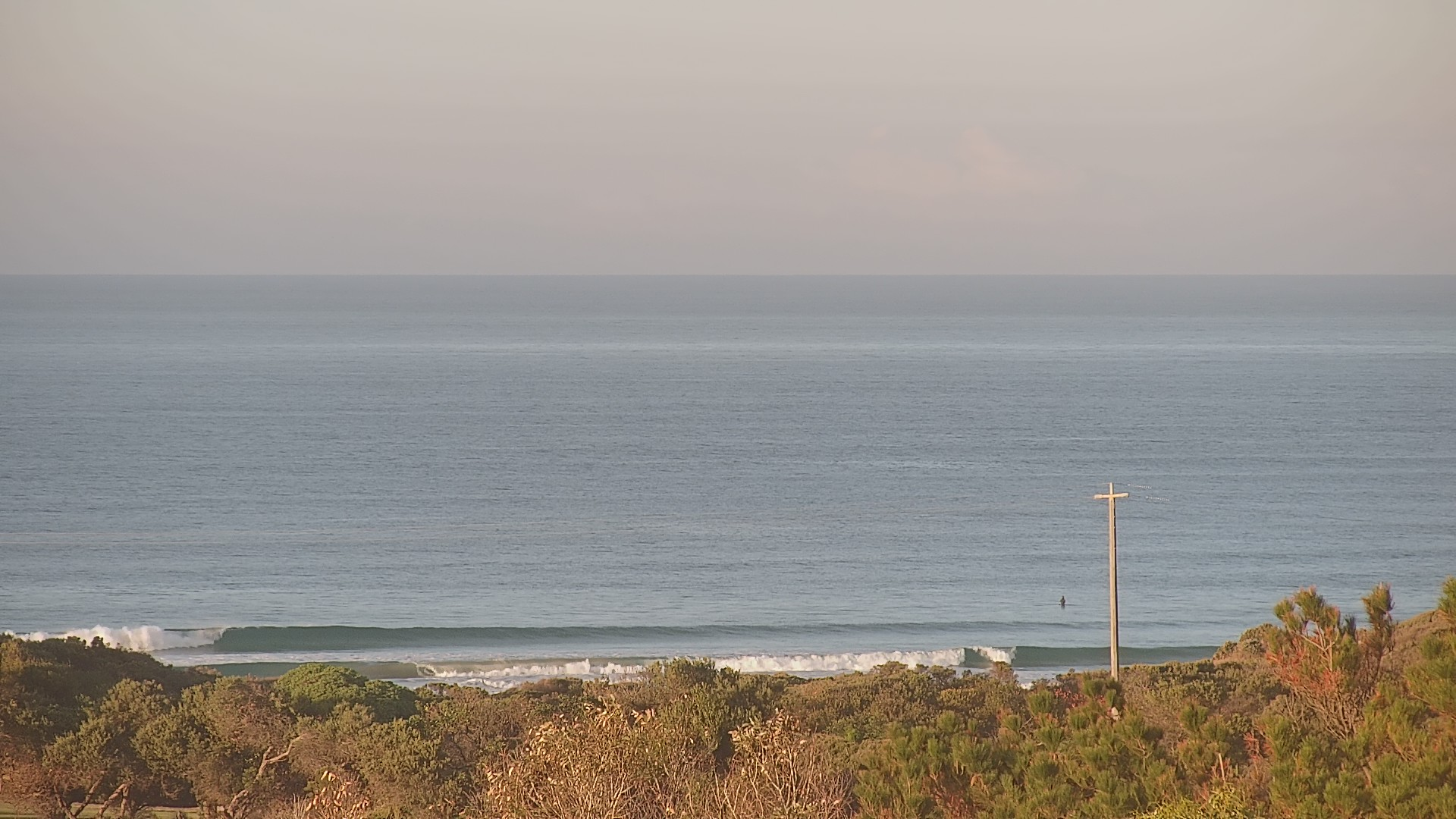
Small clean lines at Jan Juc this morning
This week (May 15 - 16)
Generally light winds are expected for the rest of the week, probably out of the west if anything, so this will favour the Surf Coast for the best conditions.
As for surf, Thursday’s size is contingent on whatever appears overnight, as the pulse expected later today was/is expected to be the start of an initially modest new groundswell that would precede a bigger swell for Friday ahead of a peak on Saturday.
It’d be easy to look at the Cape Sorell data and assume the models have overcalled this first swell, especially considering it was sourced from an off-axis fetch in the Southern Ocean earlier this week. But we’ve seen these unusual synoptic setups perform well over the years and gut feel is that the model guidance is pretty good, and that the temporary easing trend (at Cape Sorell, this afternoon) is probably an aberration.
So, let’s hold projections in and around the 3ft mark for Surf Coast swell magnets on Thursday - it will be VERY inconsistent, mind you (off-axis swells always are) - so don’t expect a high wave count. Most other beaches will be smaller.
East of Melbourne should push 4-5ft on Thursday, conditions won’t be perfect but it’ll be OK.
Friday’s swell increase will start off undersized, with the biggest waves expected at the end of the day. Early morning may be of a similar size to Thursday (3ft west, 4-5ft east) but with a slightly more consistent lineup, ahead of a building trend that should push 4-6ft at the Surf Coast swell magnets on dark, and 6-8ft east of Melbourne (with small waves in Western Port).
It’s worth noting that we’re now approaching the depths of winter, so we have a smaller window for the ‘late’ session (early summer allows for surfing until 8pm+, whilst we lose up to three hours through winter) - and this can change the perception of whether a swell is on track or not.
But the take home message is: Friday's late session will have the biggest waves.
This weekend (May 17 - 18)
A fresh southerly change is expected to sweep across the coast on Saturday morning.
Model guidance has delayed its arrival a little and there’s an outside chance for an hour or two of light winds right at dawn but it won’t last long, so expect most locations to quickly become blown out.
Protected locations should however have small waves, as we’re looking at solid 5-6ft+ sets across the Surf Coast and up to 6-8ft east of Melbourne (note: Western Port ain’t friendly in this wind).
Easing size is expected on Sunday though the models are maintaining the onshore breeze through the early hours of the morning so my confidence has now decreased that we’ll see any major improvement in conditions throughout the day.
I’ll take a closer look at the timing of the change in Friday’s notes to see if there’s a window of opportunity that can be extracted.
Next week (May 19 onwards)
Easing size through the first half of the week will be accompanied by much better conditions as winds become light and then freshen from the NW on Tuesday, ahead of a mid-week frontal system and associated onshore change.
These fronts will have a series of swells trailing behind, initially generated within an unfavourable part of the swell window (quite north in latitude, and a long way back in the southern Indian Ocean) however there is a particulary juicy mid-latitude low expected well SW of WA around Monday and Tuesday that is likely to set up a strong long period groundswell around Friday - give or take - that could push the 6ft mark across the Torquay region.
It’s still some time away but we’ll take a close look at this in Friday’s update.
Comments
Thoughts on mondays wind direction Ben. ?
I don’t like the sound of this ‘gut feel’
8ft - 19.3 seconds next Friday and light winds. Would love to see it those lines if were to come to fruition!!
Cape du Couedic's back!
Dear Thermos,
I hope this message finds you in good health and high spirits.
I am reaching out to inquire whether there are any preliminary indications regarding the prevailing wind direction for Friday and Saturday of next week, or whether it remains too early to provide a reliable forecast with any degree of confidence.
Your expertise is, as always, greatly appreciated.
Kind regards,
MP
i dont think anyone could tell you excacly white time wind will go S this saturday let alone next week mp. but will be around dawn or just after re this saturday.
and there is uncertanty in the forecast for the eastern seaboard of australia next week mp which will infuluence our mexican long range forecast.
Sorry guys, been on the road last few days and so haven't been able to respond. Will cover these issues in the next update due in about an hour.