Another nice round of quality groundswell ahead

Victorian Forecast by Ben Matson (issued Monday May 12th)
Features of the Forecast (tl;dr)
- Small clean waves Tues
- Small pulse of new swell Wed but winds are a little iffy
- Stronger round of new swells Thurs and (even more so) Fri with generally good winds
- Large swell Sat but poor winds
- Easing size and improving conditions Sun
Recap
The weekend maintained great waves across the Victorian coast, clean with light winds both days and 4ft sets west of Melbourne on Saturday, easing to 2-3ft Sunday, 6ft to the east easing to 4ft. This morning provided a similar size range as Sunday but wave heights are now trending down.
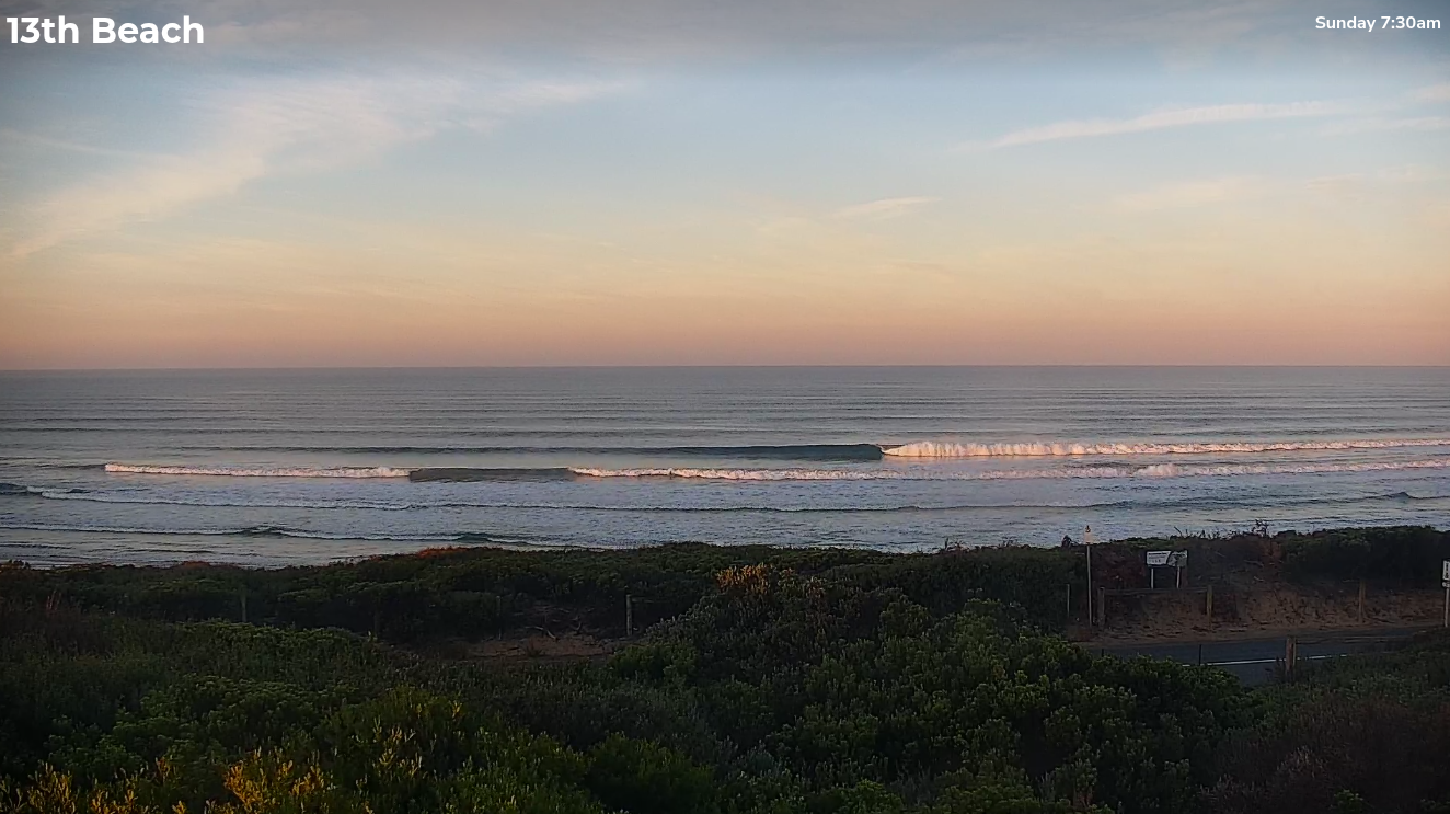
Nice lines across the Bellarine on Sunday morning
This week (May 13 - 16)
Small waves will persist on Tuesday despite the expected presence of long period swell. This energy was generated by a small, tight fetch near Heard Island mid-last week and most of its size will have decayed since generation (due to the large travel distance), so we’re looking at inconsistent leftovers in the 1-2ft range west of Melbourne and occasionally 3ft east of Melbourne.
Light winds will hang mainly out of the NE so it’ll be a nice day for exposed spots.
The latter stages of the same low (responsible for the absent long period energy) is developing a slightly better swell for Wednesday afternoon, but it’s not looking like a strong, consistent event at all.
Wave heights should build to 2-3ft west of Melbourne and 3-5ft east of Melbourne but a weak front will clip the coast in the morning, bringing early NW winds around to the SW sometime near lunch. Winds speeds won’t be too strong but with the lackluster swell outlook, it’s not worth rearranging your diary for.
Friday and Saturday look better, for the Surf Coast at least.
A strong conveyor belt of fronts through the Southern Ocean - initially unfavourable aligned through our swell window - will generate a series of groundswells that will overlap through the latter part of the week ahead of a peak in size over the weekend.
Earthly indications are for 3ft sets west of Torquay on Thursday and possibly early Friday before surf size builds up into the 4-5ft, maybe 4-6ft range by late Friday. East of Melbourne will be a couple of feet bigger, but the take home point here is that Western Port (and many other protected spots) will likely remain undersized until after lunch on Friday. Prior to then we may linger in that in-between size range that'll be overpowering the beaches but won't be big enough for anywhere else.
Local winds look like they’ll hold light from the western quadrant both days (i.e. morning NW) ahead of a SW change sometime later Friday afternoon.
So, all in all this is gearing up for another spell of fun waves west of Melbourne with options at many locations.
This weekend (May 17 - 18)
The peak of this swell cycle is expected on Saturday morning, however we are unfortunately expecting moderate to fresh southerly winds to accompany it. The main cause of this will be a developing high in the Bight that’ll quickly push the responsible fronts to the east and over towards New Zealand, and firm a ridge against the Victorian coast.
Nevertheless, wave heights should peak around 5-6ft+ across the Surf Coast (6-8ft+ east of Melbourne) so if you can find somewhere offering shelter from this wind direction, you’ll do well.
Rapidly easing winds on Sunday are unlikely to swing offshore with any strength, so whilst surface conditions will slowly improve from Saturday, we can anticipate plenty of leftover wobble through the lineup. Expect wave heights to ease from 4-5ft to 3-4ft west of Melbourne, with protected spots east of Melbourne (such as Western Port) still holding a few lumpy waves through the morning.
Looking further ahead and there’s nothing of any significance on the long term radar right now. I’ll have more on that in Wednesday’s update.