Fun waves developing on the beaches

Victorian Surf Forecast by Craig Brokensha (issued Monday 9th January)
Best Days: Tomorrow from mid-morning until sea breezes, exposed beaches Wednesday until mid-afternoon, Thursday morning, Friday morning selected spots, Saturday morning for small leftovers
Features of the Forecast (tl;dr)
- Small, inconsistent W/SW swell building Mon with strengthening SW winds
- Fun sized, building W/SW swell Tue with moderate S/SW winds, easing and tending light S ahead of later S/SE sea breezes
- Slow drop in W/SW swell Wed with mod-fresh E tending variable NE winds ahead of S/SE sea breezes mid-PM
- Smaller Thu with light E/NE-NE tending S/SE winds late AM
- Smaller Fri with moderate E/SE tending S/SE winds
- Small to tiny Sat with NE winds ahead of a S/SW change
- S winds and small surf Sun
Recap
Small, weak and peaky surf best suited to the exposed beaches on Saturday with 2ft to occasionally 3ft sets, down on Friday's pulse, with yesterday coming in even smaller.
This morning the swell was small to tiny and early light winds have since given into a strong onshore change as a trough moves in. Some new mid-period W/SW swell is due this afternoon but with poor conditions.
This week and weekend (Jan 10 - 15)
Looking at the week ahead and our focus will be on the beaches to the east as today's trough pushes east and a high slides in behind it. This should swing winds around to the eastern quadrant by Wednesday along with some small, mid-period W/SW swell.
Firstly, a small pulse due through today should reach 2ft on the Surf Coast and 3-4ft to the east.
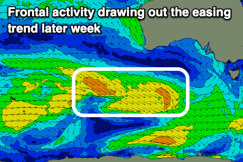
A secondary pulse of inconsistent mid-period W/SW swell is due into tomorrow afternoon, generated by a broad but relatively weak frontal system developing to the south-west of Western Australia on the weekend.
The remnants of this front are now tracking east-southeast, under the Bight with this expected to slow the easing trend into Wednesday and Thursday.
We should see the surf building to a slightly bigger 3ft into tomorrow afternoon on the Surf Coast and 4-5ft+ to the east, easing slowly Wednesday from 3ft and 4-5ft respectively.
Winds tomorrow will ease from today but linger from the S/SW (moderate tending light), creating less than ideal but surfable conditions through the day before a gusty S/SE sea breeze develops mid-late afternoon.
Wednesday looks cleaner as an inland trough drifts slightly south through the day.
This will see moderate to fresh, early E'ly winds tend variable E/NE-NE through the morning ahead of sea breezes developing mid-afternoon. This should create improving conditions right up until the sea breeze hits.
Light E/NE-NE winds should favour the beaches again Thursday morning ahead of earlier sea breezes, moving in late morning and we'll have fun easing 2ft+ sets on the Surf Coast, 4ft to the east.
Smaller surf is due on Friday and a morning E/SE breeze looks to only favour selected spots east of Melbourne.
A low point in energy is expected on the weekend along with a NE offshore Saturday, giving into a strong S/SW change into the evening as a trough moves through.
This looks to be another temporary feature with S'ly winds on Sunday expected to swing back offshore Monday but with no decent groundswell.
Longer term we might see a fun, moderate sized W/SW swell for mid-next week with light winds but we'll have a closer look at this Wednesday.