Great weekend of strong surf and favourable winds
Friday, 8 November 2024
Great weekend of strong surf and favourable winds
Friday, 8 November 2024
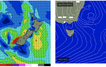
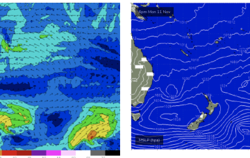
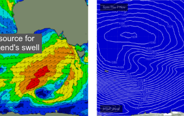
Broadly speaking the size trend will be steadily up Saturday, and then slowly down on Sunday.