Small waves for the weekend but starting to see signs of life long range
Friday, 3 January 2025
Small waves for the weekend but starting to see signs of life long range
Friday, 3 January 2025
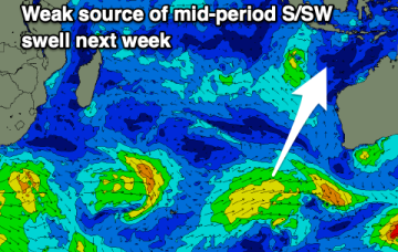
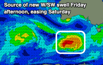
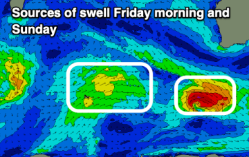
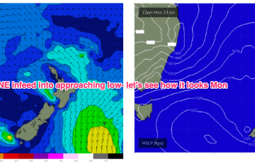
Further ahead and we have a dynamic outlook on the cards. An inland low and trough - a hybrid monsoonal feature- looks to approach the NSW coast, with a strengthening NE infeed into the system.