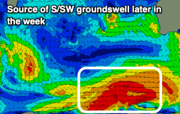
Tricky week, better much more active from Sunday
Monday, 31 March 2025
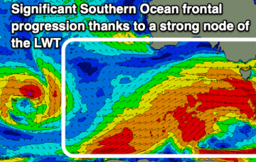
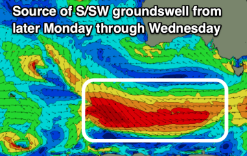
Tricky week, better much more active from Sunday
Monday, 31 March 2025
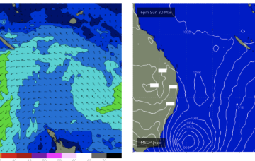
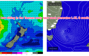
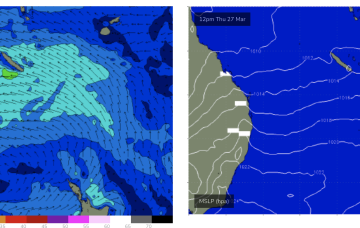
Dicey week ahead of the first proper Southern Ocean frontal progression of the autumn season