Fun surf continues into the New Years weekend
Wednesday, 28 December 2022
Fun surf continues into the New Years weekend
Wednesday, 28 December 2022
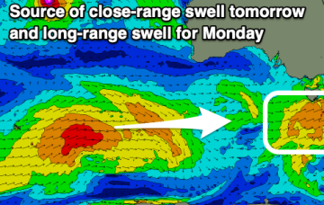
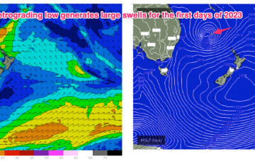
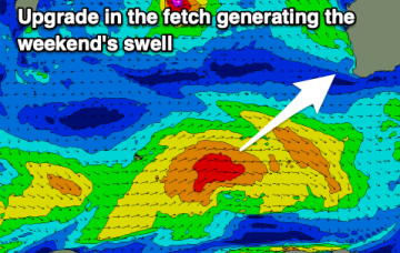
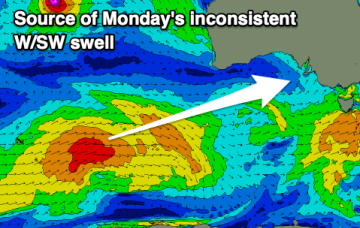
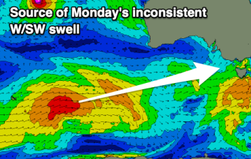
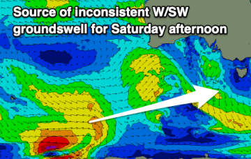
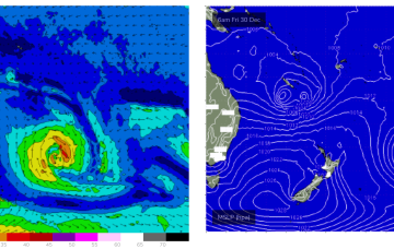
The building blocks for a classic Summer monsoonal pattern are now firmly in place and almost the entire Eastern Seaboard from the Tropic of Capricorn to Tasmania is going receive swell as a result of it.