Good to great run of surf before onshores winds kick in
Wednesday, 10 April 2024
Good to great run of surf before onshores winds kick in
Wednesday, 10 April 2024
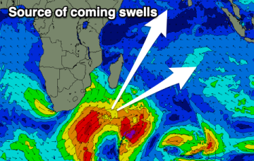
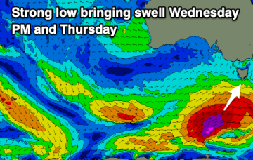
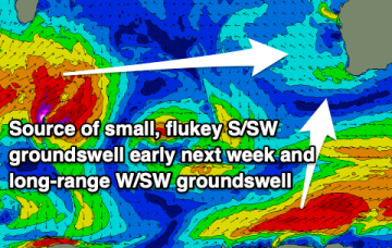
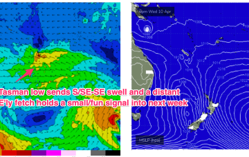
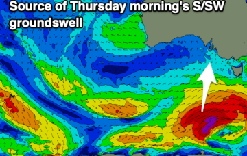
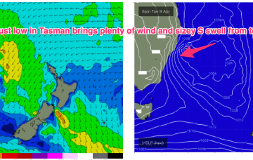
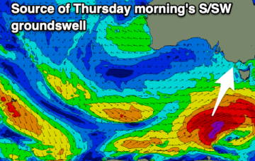
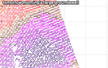
The coming days will provide plenty of swell with improving conditions after initially being a touch dicey. Surf before Tuesday though.