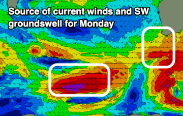
Plenty more west swell to come with windows for the Mid Coast
Monday, 2 September 2024
Plenty more west swell to come with windows for the Mid Coast
Monday, 2 September 2024
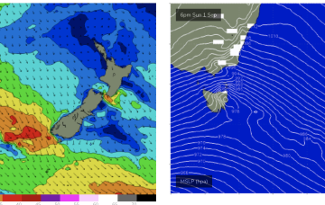
The west swells will continue as winds ease and windows open up inside the gulf.