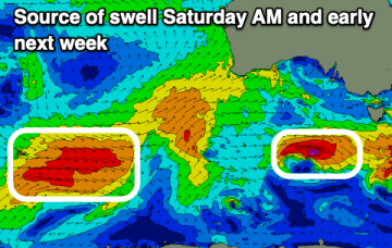
Tiny surf over the weekend with gusty winds, potential later next week
Friday, 6 September 2024

Tiny surf over the weekend with gusty winds, potential later next week
Friday, 6 September 2024
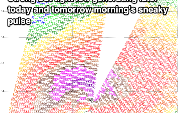
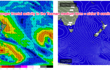
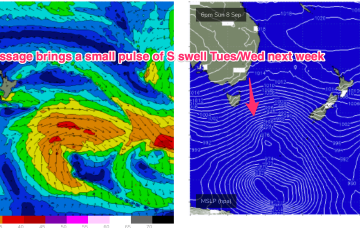
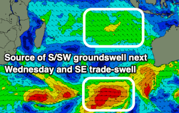
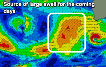
Late next week we’ll see a more significant system develop as a trough deepens into a low off the NSW South or Central Coast.