Friday morning looking fun, Saturday the go east of Melbourne

Victoria Forecast by Craig Brokensha (issued Wednesday 28th October)
Best Days: Possibly tomorrow morning, Friday morning, Saturday morning east of Melbourne, Sunday morning west of Melbourne
Recap
Plenty of size yesterday with a strong new S/SW groundswell and SE windswell across both coasts but with poor and limiting E/SE winds.
Today we've seen offshores kick in across both coasts with early lump, improving through the day and 2-3ft sets on the Surf Coast and 4-5ft waves on the Mornington Peninsula.
This week and weekend (Oct 29 – Nov 1)
Tomorrow may start slow but a good new S/SW groundswell will show through the morning with light to moderate SE winds across both coasts. Due to the light and tricky nature of the wind forecast, we may actually see variable winds at stages through the morning before afternoon SE breezes kick in.
The S/SW groundswell is expected to reach 2-3ft on the Surf Coast and 4-6ft on the Mornington Peninsula, easing from a similar size Friday morning.
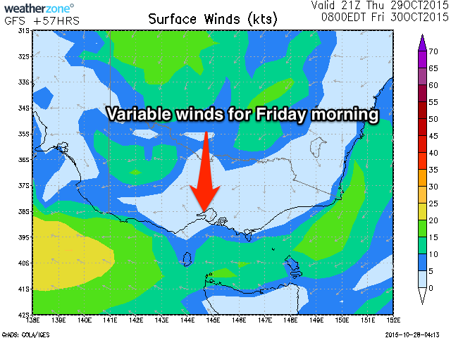 Winds are tricky again for Friday morning but we'll probably see variable breezes, freshening from the E/SE through the day.
Heading into the weekend, the Mornington Peninsula will be the pick Saturday and then Surf Coast Sunday.
Swell wise, small 2ft waves are due across the Surf Coast through the morning, with a long-range and inconsistent SW groundswell for the afternoon.
This groundswell has been generated in the southern Indian Ocean, to the south-west of WA and isn't expected to offer any major size, with infrequent 2ft sets continuing across the Surf Coast and 3-5ft sets on the Mornington Peninsula.
NE winds will favour locations east of Melbourne over the Surf Coast Saturday, then as the swell eases Sunday, W/NW winds will favour the Surf Coast ahead of an onshore change into the afternoon.
Next week onwards (Nov 2 onwards)
Monday will be a write-off with fresh S/SE winds in the wake of Sunday's change, and a small mix of swells from a strong but unfavourably tracking low developing under the country Friday.
The strongest part of this lows life will be when its in our south swell window on the polar shelf, producing an acute S/SW groundswell for Tuesday (peaking into the afternoon). The Surf Coast should see good 3ft+ sets with 4-5ft waves on the Mornington Peninsula, but with what looks to be fresh to strong E/SE winds.
Cleaner conditions are then due Wednesday and Thursday but with no real decent swell.
Comments
does east of Melbourne refer to mornington or Phillip island ?
When I mention this, I'm referring to both.
Wilba, Have a look at Google maps or an Atlas of you know what that is.
Do you think next monday and tuesday the swell will be to big for gunnamatta.
Little hard to say at this stage, but likely on the edge.
Will the swell be to small for pt leo and flinders next monday and Tuesday
You serious? Surely not
Gunna will be unreeel Monday, SSW 16kt: perfect.
And then head around to Pt Leo when the huge swell comes in on Tue. Perfect wind for it, especially in the arvo: E 15kt picking up to 25kt. Pity the tide will be coming in coz the best time to surf in there is low tide (too fat on the high).
Go for it.
What about Lorne point on high tide Monday
Nah, be crap bru. Maybe ok for my longboard but.
Would it be possible to shortboard or would it be better at pt Leo Monday or would the swell be too big for there
When I see 6 foot mentioned for the MP beaches it usually means it's going to struggle to handle it unless there's an exceptional bank around and a high tide
Especially with a bit of period around
Update:
Unfortunately winds have taken a turn for the worse tomorrow morning with the trough encroaching on Melbourne. Looking at moderate to fresh E/SE winds across both coasts (possibly E/NE on the Mornington Peninsula).
Not variable anymore though, bummer.