Great run of surf coming up for the state
Wednesday, 12 March 2025
Great run of surf coming up for the state
Wednesday, 12 March 2025
We’ve got a weekend of two halves on the way.
We’ve got a weekend of two halves on the way.
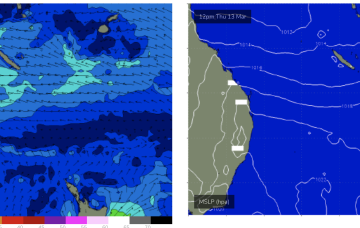
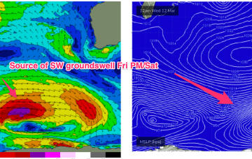
Into next week and a long fetch of gale force winds in the screaming 50’s later this week supplies plenty of energy into next week, although nothing major. The position of the long wave trough favours Victoria as those winds form low pressure and aim up more directly at SE Aus.
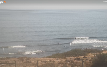
We have a complex weekend of waves ahead but there should be some good options around.
We should see fun waves up to the weekend, easing into early next week before rebuilding on the back of a SE surge Wed next week.
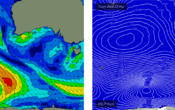
To the south we are seeing strong, but zonal frontal activity which will impact the Island state with local winds and S swells later next week.
A weak trade flow in the Coral Sea now only looks capable of generating minor background E’ly swells. N’ly winds will increase over the weekend as a more significant trough and frontal system pushes into the Tasman next week, generating swells from the southern quadrant.
N’ly winds will increase over the weekend as a more significant trough and frontal system pushes into the Tasman next week, generating swells from the southern quadrant.
As such, Friday is the pick of the working week but late Thursday could have some options if the models change the strength and timing of the change.
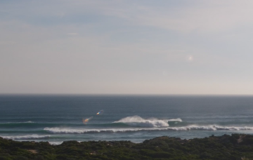
The leading edge of a new long period groundswell reached Cape Sorell around lunchtime today - a useful, if somewhat delayed proxy for the inactive Cape du Couedic buoy - and we’re expecting size to build towards a peak early Tuesday.
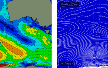
The Indian Ocean is in an active phase with a storm track concentrated on disturbances SW of Heard Island and tracking below the state maintaining intensity. Locally, a ridge under the state is being enhanced by a trough moving down the coast from the Gascoyne, eventually forming a low off the SW corner before it moves inland again.