Similar swells and winds for the foreseeable future

South-east Queensland and Northern NSW Surf Forecast by Ben Matson (issued Friday 17th May)
Best Days: Most mornings throughout the entire forecast period should see decent beachies with light winds and persistent small E'ly swells in the north and persistent small S'ly swells in the south.
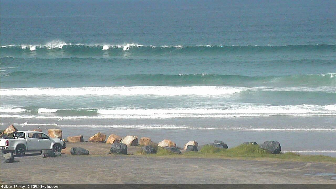
Recap: We’ve seen fun waves across most open beaches for the last few days, with E’ly swells maintaining 2-3ft waves throughout SE Qld and Far Northern NSW, and S’ly swells building from 2-3ft Thursday to 4ft today (see surfcam pic below from Coffs around lunchtime). Light morning winds have created clean conditions whilst afternoon sea breezes have bumped up the open beaches.
This weekend (May 18 - 19)
Today’s Forecaster Notes are brought to you by Rip Curl
It’s almost a case of rinse and repeat for the short term forecast.
With the trade flow through the Coral Sea remaining steady, we’ll see steady short range E’ly swells throughout SE Qld and Far Northern NSW through the weekend, perhaps a smidge smaller in size than today but still holding somewhere in that 2ft to almost 3ft range across exposed beaches.
The short period nature of the swell won’t really do much for the points but this combo will favour the beach breaks early mornings. Expect winds to perk up from the south-east each day, bumping up exposed spots but offering small peaky waves down the outer points. It won't be epic by any stretch but you'll find reasonable options at most stretches early in the day - the only exception is the Sunshine Coast, wherer Saturday morning is a better bet than Sunday morning thanks to a momentarily strengthening pressure gradient along the coast.
Across Northern NSW, we’ll see slowly fading southerly swell from today, with early 3ft+ sets at south facing beaches south of Byron on Saturday morning becoming a little smaller into the afternoon (expect smaller surf at beaches not directly open to the south).
On Sunday, a small new S’ly groundswell will glance the coast, providing extremely inconsistent 2-3ft sets to south swell magnets south of Byron, but again offering smaller waves elsewhere.
In similarity to northern locations, we’ll see early light winds through the morning, becoming light to moderate SE throughout the days, though with a little less strength. Surf conditions should be well suited to the beach breaks before lunch.
Next week (May 20 onwards)
I’m not expecting much deviation away from the current pattern through next week either, the result of a blocking high in the Tasman Sea.
Fresh E/SE winds on the northern flank of the high will continue to generate small weak trade swells for SE Qld and Far Northern NSW, somewhere between 2-3ft all week.
As for our south swell window, a series of small long period southerly swells will maintain active conditions across south facing beaches south of Byron. Current model guidance has a new swell front glancing the coast every day bar Thursday, so it’s hard to be totally confident in the day-to-day trend as we’ll experience overlapping swell trains all week.
Regardless, later Monday, Tuesday and early Wednesday are likely to see the biggest and best waves from yet another strong but poorly aligned polar frontal sequence well below Tasmania and New Zealand this weekend (see below), with south facing beaches south of Byron likely to push back up into the 3ft+ range. Of course, it’ll be smaller at beaches not open to the south. Thursday and Friday will see smaller surf, again best suited to south swell magnets.
This south swell early int he week won’t do anything in SE Qld away from a handful of reliable south swell magnets that may pick up stray 2ft sets (likely smaller than the pre-existing trade swell).
And, local conditions just about everywhere should remain clean all week with light variable winds and weak afternoon sea breezes. We may see a little more strength in the afternoon breeze across SE Qld but it'll be down in speed from the weekend.
Long term forecasts suggest an intense low below Tasmania later next week that could generate a large long period southerly swell for Northern NSW next weekend or early in the following week, plus some renewed trade activity south of Fiji that should perk up our easterly swell prospects, albeit without any great size.
Have a great weekend, see you Monday!
Comments
Shit balls, the slump continues.
I used to check a site that showed a new style of wave spectral analysis at the tweed, not MHL...anyone got a link for me?
Yeah the Brisbane buoy..
For clarification, this used to be on the Tweed buoy but for some reason they have removed it. Not sure why.
it's like a piss weak late Feb monsoonal pattern.
Onshore E'ly winds, showers.
At least the May land breeze has enough nuts to cut through the onshore for a few hours each morning now.
Thanks Craig.
Thanks Ben, I didn’t think I had closed any pages but suddenly couldn’t find it, pity they removed it from the tweed, weird