West energy continues, best over the coming days
Friday, 9 August 2024
West energy continues, best over the coming days
Friday, 9 August 2024
For the Surf Coast, the coming days will be best under this west regime.
For the Surf Coast, the coming days will be best under this west regime.
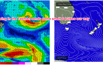
The coming forecast is very slow thanks to the storm track sitting too far north of us.
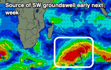
Happenings in the upper atmosphere are now filtering down to the surface bringing a poor outlook of weather and surf.
No change to the broad pattern expected next week which is strong high pressure in the Tasman and and deep E’ly fetch developing.
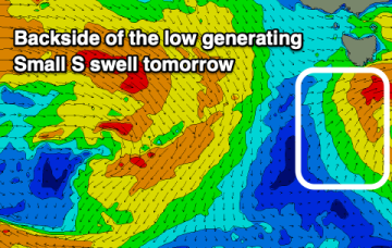
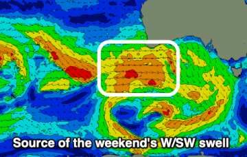
Zonal fronts under Tasmania are combining with high pressure over the continent to supply W’ly ridging.
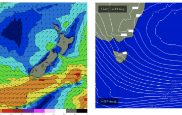
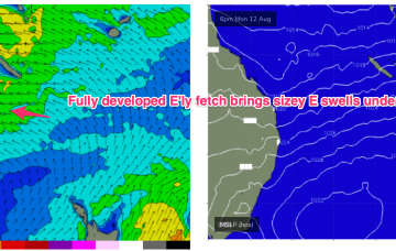
By Tues we see late summer style sizey E’ly swells from a fully developed sea state across the Coral Sea.
We've got a great run for the Mid Coast with plenty of west swell and favourable winds.
Over the weekend and next week the large high complex builds a broad E’ly fetch through the South Pacific and into the Coral Sea, generating sizey E swells for the sub-tropics with smaller E/NE swells filtering down to temperate NSW.
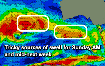
The coming period looks fun but not overly sizey.