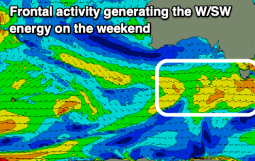
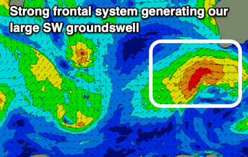
Low energy outlook for the short term- still watching the tropics
Friday, 26 January 2024
Low energy outlook for the short term- still watching the tropics
Friday, 26 January 2024
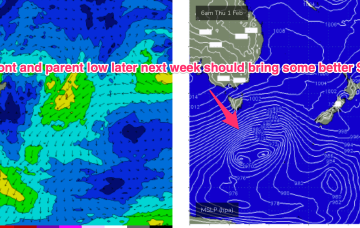
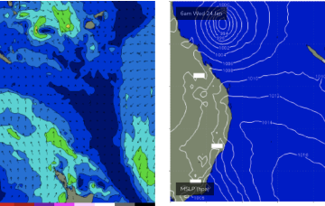
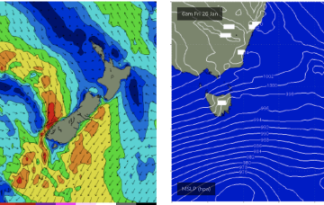
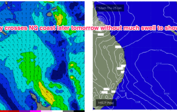
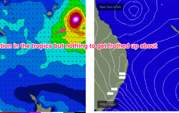
Further ahead and the tropics remains active with a long monsoon trough extending from the Coral Sea out into the South Pacific Convergence Zone. Strongest winds are the monsoonal surge nor-westers along the top of the trough but there are signs more favourable E’ly winds will develop along the bottom of the trough later next week, favouring sub-tropical regions for small E swell either later next weekend to into the week 5/2