Coupla fun small pulses for the Mid, but few favourable windows down south

South Australian Forecast by Ben Matson (issued Friday May 16th)
Features of the Forecast (tl;dr)
- Large swell down south on Sat but poor winds, easing Sun but still tricky winds
- Small weekend waves on the Mid with OK winds Sat and good winds Sun (very slow/inco at times, won't like the high tide either)
- Victor looking good Tues with morning offshore winds and small leftover surf
- Poor surf both coasts Wed with onshore winds and building swells
- Small clean surf on the Mid Thurs
- Solid long period swell for both coasts Fri with OK winds
Recap
The Mid Coast was small on Thursday and this morning with 1ft leftovers and light winds, but a new swell has pulsed to an inconsistent 2ft this afternoon (super long breaks between the sets though). Winds have been around the clock at times (light/var yesterday, then temporarily cross-onshore this morning) but it’s glassed off this afternoon allowing for some clean conditions to finish the week (mind you, the approaching 2.4m high tide due at 6pm is swallowing up things now). Victor saw building surf Thursday from 3ft to 3-4ft, where it’s held around this size range for most of today; recently starting to show some bigger 4-5ft sets. Conditions over the last few days have been clean with light variable winds but moderate onshores kicked in a few hours ago, making conditions a little bumpy for the late session.
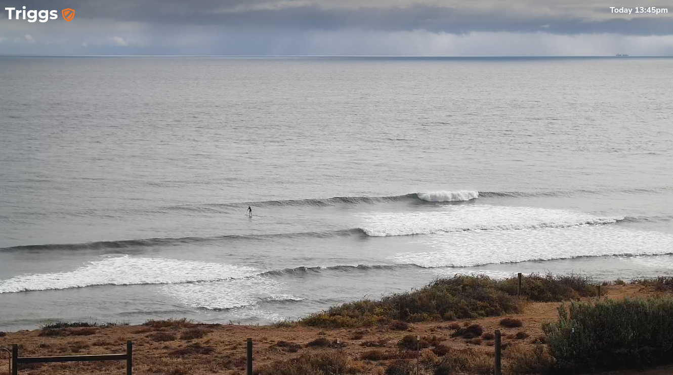
Fun waves on the Mid this afternoon, before the tide killed it
This weekend (May 17 - 18)
At best, we have a brief window of light winds early Saturday morning, and this will be the only window of opportunity to surf down south this weekend.
The latest high res models have tightened up the arrival time, which looks like it’ll be across Kangaroo Island around dawn and probably into Victor Harbor an hour or two afterwards. Bearing in mind that this is not a standard cold front - with pre-frontal NW winds ahead of the change - instead we may already be under a light southerly breeze from the get go, just with the main strength expected from mid-morning onwards.
Winds will throttle back through Sunday but the damage will have been done, and it’ll take another day (at least) for conditions to clean up enough to warrant a paddle.
This is a shame as this afternoon’s building swell should hold 5-6ft through Saturday before easing to 4-5ft Sunday.
The Mid Coast will see small residual swells all weekend (1ft, maybe 1-2ft if you're lucky) though it’ll be terribly inconsistent and the high tides will continue to create very full, fat conditions - so you’ll need to aim for low/mid tide for the best waves.
Early light winds on Saturday will become fresh S/SE thru’ S’ly from mid-morning onwards, so the afternoon may be a little bumpy at times - though there is a chance for a late easing from the SE. Sunday will be much cleaner with lighter E/SE winds.
Overall, keep your expectations low and perhaps aim for a grovel on the Mid on the more favourable parts of the tide.
Next week (May 19 onwards)
Light variable winds are due Monday as a high pressure system centres itself over the region, though a lingering easterly wobble is still possible down south. Size will be easing from 3-4ft to 2-3ft through the day so it’ll be worth a look but don’t get too excited.
Tuesday looks better with freshening pre-frontal N/NW winds and smaller surf around 2-3ft at Middleton, easing to 1-2ft through the day - so it’ll be an ideal size range for Waits and Parsons.
The Mid Coast won’t see much surf through this period, just leftover energy that'll be clean Monday but will become wind affected on Tuesday.
Tuesday's late frontal arrival will herald a small stormy for Wednesday. The models are actually in good agreement that a small cut-off low may linger just off the SE coast during the day, driving strong to gale force S/SW winds and generating a punchy local swell for Victor, with the earlier incarnation of this system generating a small swell for the Mid. Chances for any surf on the metro beaches is slim though as there won’t be much size on offer and the S/SW fetch length is very small inside the gulf, so size prospects are small no matter the strength.
Whilst this is all going on, a powerful series of storms will have tracked through the southern Indian Ocean and into the Southern Ocean, generating large surf for the WSL in West Oz (Tues onwards).
The early stages of this sequence will be unfavourably aligned within our swell window, but nevertheless we’ll see a small increase in new swell around Wednesday and Thursday. Continuing onshore winds will plague the South Coast though so the Mid Coast will be your best bet for a wave with a small W/SW groundswell around 2ft and winds starting to veer more S/SE.
A much more significant swell will arrive sometime Thursday afternoon, generated by an intense polar low at the tail end of the first frontal progression. Leading edge swell periods could register as high as 20+ seconds at Cape du Couedic though the bulk of this swell will be located some distance behind and it probably won’t start building surf size until Friday.
Again, this system won’t be perfectly aligned within our swell window but the size, strength and duration of the polar low should allow for some very strong swell lines to peak in size around 4-6ft at Victor, and we may see some 2-3ft sets on the Mid Coast too. Light winds are expected by this time so conditions should be OK on both coasts.
Either way, the long term outlook has a whole stack of solid swell on the cards - we’ve just gotta work around the winds.
Have a great weekend!
Comments
Thanks Ben.
Randomly checked Couedic wave buoy again today and there's data coming in - finally!