Southern Ocean regularity to resume in Vicco

Victorian Surf Forecast by Ben Matson (issued Wednesday 13th September)
Features of the Forecast (tl;dr)
- Small residual surf Thurs with light winds, ideal for open beaches east of Melbourne
- W/NW winds Fri with a small bump in swell
- Slowly building W'ly swells Sat under freshening W/NW winds, nothing special, maybe Surf Coast later
- Decent surf for Sun on the Surf Coast with good winds
- Similar pattern persisting for the following week; good winds and swell patterns for the Surf Coast
Recap
Monday afternoon’s solid S/SW swell eased slowly through Tuesday, from 4-5ft in Torquay down to 3-4ft by the afternoon, and we’ve seen size eased from 2-3ft to 2ft today. Conditions have been clean with generally light NW winds, more N’ly along the east coast, where there’s been a little more size on offer.
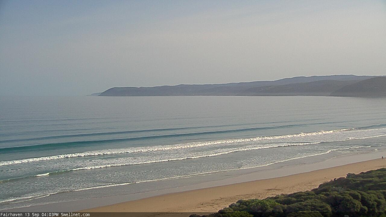
Still some small glassy waves along the GOR this arvo
This week (Sep 14 - 15)
No change to the outlook for the rest of the week.
Surf size will bottom out into Thursday morning, and light winds from the N/NE will favour open beaches east of Melbourne with clean 2-3ft sets. It’ll be very small west of Melbourne but the exposed beaches will have minor peaks for the grommets.
Small long period energy is expected to show at the regional buoys early on, but it’ll be very west in direction, and will have originated from our distant swell window, so I’m expecting only a minor increase into the afternoon that’ll generally favour the exposed beaches east of Melbourne. Keep your expectations low in Torquay.
Similarly small swells will persist on Friday with freshening NW tending westerly winds as a small front clips the region. Surf size will be only small in Torquay (1-2ft sets) so it won’t be worth too much effort, and east of Melbourne will become blown out.
So, make the most of Thursday at your favourite exposed swell magnet.
This weekend (Sep 16 - 17)
There’s been a slight improvement in the weekend outlook, with the models strengthen a series of fronts through the Bight, and also pulling the storm track a little more towards the South Pole, which means it’ll have a little less west in the resulting swell direction than Monday’s notes were expecting.
That being said, we’ll see associated gusty W/NW winds for most of the weekend and this will only favour the Surf Coast (Western Port will be too small), and I still fear that we’ll have issues in the size department throughout Torquay, and more noticeably, the consistency of set waves (or lack thereof).
Saturday looks to be undersized early but should trend up through the day, maybe pushing 2ft+ in Torquay later in the afternoon. Sunday now looks better with its probably holding around the 3ft+ mark, but we often see a smaller percentage of locations picking up rideable waves during these borderline W/SW events, so it could end up being a weekend only for the swell magnets. It's not a high confidence swell event.
Hopefully, conditions will be better on Sunday too, as the wind throttles back a bit in the lee of the fronts.
East of Melbourne looks average all weekend with not enough size for protected spots and too much wind (at first) and then size (later on) for the open beaches.
If you’ve had a good fill of late, I’d probably play down the weekend’s surf potential, as it’s not looking spectacular by any chance. But there should be halfway decent options on Sunday if you’re keen.
Next week (Sep 18 onwards)
In addition to a small weekend size upgrade, the models have also cooled on the prospects of a stalled LWT below the continent next week, instead swinging towards a mobile frontal passage through the Southern Ocean.
There’s no suggestion for any major swell events through this period, but the end result is probably better anyway - it’s looking like we could have a steady supply of back-to-back swells in and around the 3ft mark from this Sunday through until next, all accompanied by favourable winds for the Surf Coast (just one window of variability on Monday).
That’s really just a continuation of the same seasonably positive swell pattern we’ve had this year, so if you’re into a good rhythm, keep it up!
See you Friday.
Comments
When’s the morning forecaster back?