Solid though easing beachies Thurs, then a mixed bag into the weekend

South-east Queensland and Northern NSW Surf Forecast by Ben Matson (issued Wed 4th Oct)
Features of the Forecast (tl;dr)
- Strong though easing NE swells Thurs
- Biggest on the MNC, smaller through the Northern Rivers and into SE Qld
- Clean for most of the day south of Yamba, but early wobbles in Far Northern NSW and SE Qld with N'lies hanging around at dawn
- Smaller with developing S'ly winds Fri
- Building S'ly swells but with fresh S'ly winds over the weekend
- Smaller next week (mainly S'ly swells favouring NSW) with generally light morning winds
Recap
Small northerly windswells Tues have increased quite a bit today, now pushing 3ft on the Sunshine Coast, and 4ft from the southern Gold Coast down along the Northern NSW coast, with bigger surf expected later today and overnight. However conditions are generally quite poor under gusty N'ly winds.
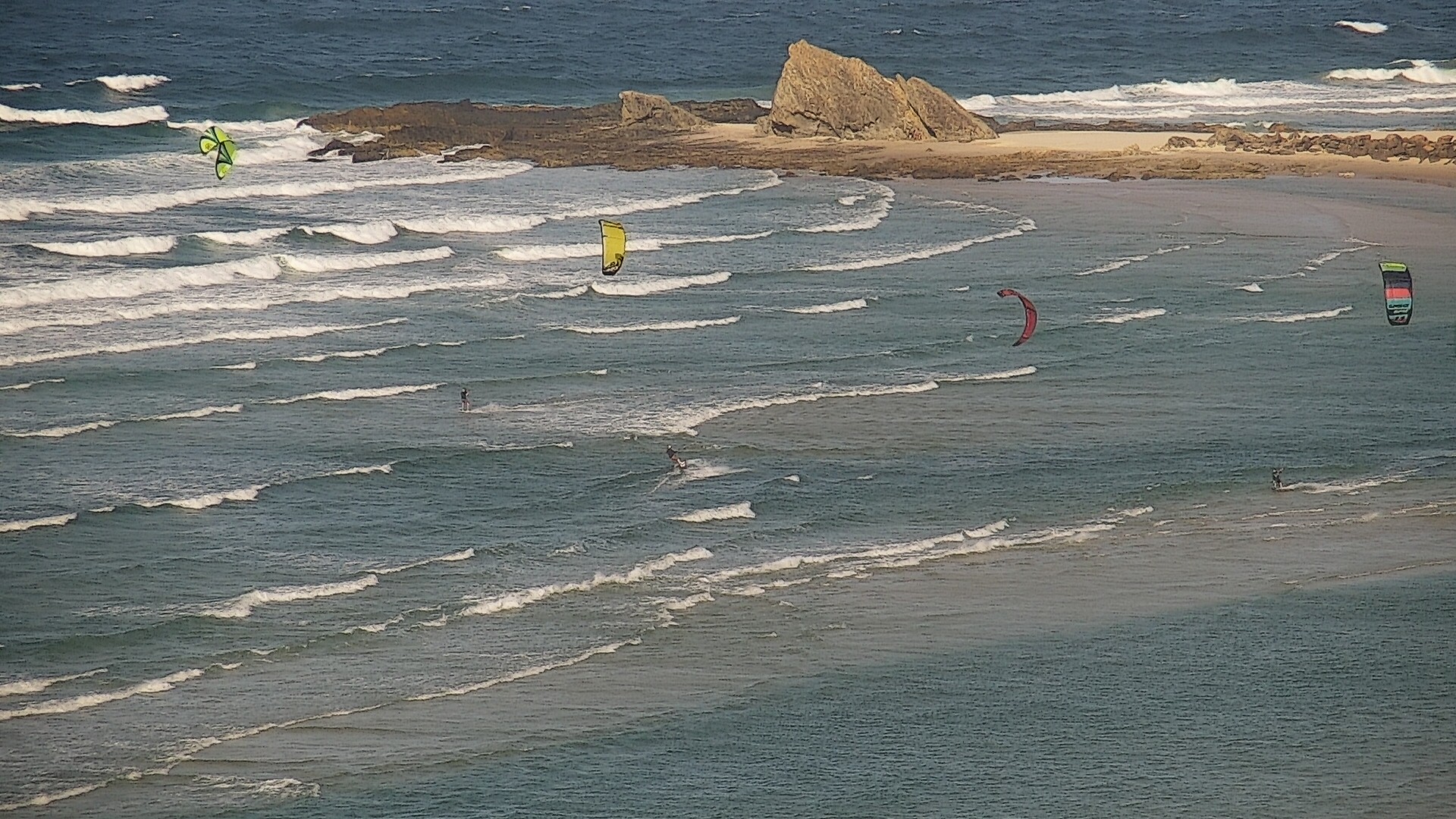
These blokes know how to make the most of a gusty northerly on the Gold Coast
This week (Oct 5 - 6)
We've had a slight tweak to the surf outlook for Thursday, mainly for SE Qld.
The developing Tasman Low off Far Southern NSW is evolving a touch slower than Monday's model runs suggested, so the previously advised risk for Thursday morning northerlies along the Sunshine Coast has now been extended down into the Gold Coast and potentially the Northern Rivers.
Model guidance is showing the change reaching the Lower Mid North Coast in the early hours of the morning, and by around sunrise we should see NW tending W'ly winds up as far as Yamba, maybe Evans Head, but perhaps not Ballina and Byron.
We should see NW winds into the Gold and Sunshine Coasts within two or three hours of dawn (i.e. before mid-morning), though the lingering lumpy effects of all-night northerly winds will take a few more hours to clean up. As such, the best surf in SE Qld will occur from about late morning through into the afternoon - fortunately, the threat of a returning northerly in the afternoon (in SE Qld) has dissipated, so expect conditions to improve as the day progresses.
Weak sea breezes are possible across most coasts but they won't have much strength.
As for surf size, there's no major change expected from Monday's notes. We'll see an overnight peak in wave heights, easing from 4-5ft at exposed beaches south of Coffs, 3-4ft in Northern NSW and the southern Gold Coast, and 2-3ft on the Sunshine Coast.
Slowly easing size will persist about Northern NSW into Friday, though we'll see wave heights leveling out around 2-3ft in SE Qld thanks to an underlying E/NE swell generated from a modest fetch of trades presently south of New Caledonia.
Developing southerly winds in the lee of a weak trough will affect exposed beaches in Northern NSW on Friday, though we'll see early light SW winds north from Byron for a few hours, which should create some nice beachies across the region, also favouring the southern points. Otherwise, Northern NSW surfers will need to scope out southern ends; protected spots everywhere else will offer the best waves throughout the day as the breeze picks up from the south.
This weekend (Oct 7 - 8)
On Saturday we'll see building southerly swells, originating from gale to storm force W/SW winds exiting eastern Bass Strait on Thursday. It'll be supplemented by a straight south swell from an adjacent fetch pushing up the eastern Tasmanian coast, around the same Tasman Low responsible for all of today's wild weather.
A series of strong Southern Ocean fronts will also push through the lower Tasman Sea behind the developing low, supplying more south swell for Saturday.
Unfortunately these fronts will push up along the coast, maintaining coastal southerly winds both days - fresh at times on Saturday - so the only clean options will be at protected locations, and they'll be much smaller than exposed south facing beaches.
Northern NSW should see building size through Saturday to 3-5ft at south facing beaces, holding a similar size into Sunday, thanks to a secondary front maintaining good swell generating characteristics through the lower central Tasman Sea throughout Saturday.
SE Qld won't fare quite as well; south swell magnets should pick up 3-4ft sets but they'll be very wind affected, and the semi-exposed points will see much smaller and less consistent surf around the 2ft mark. Expect slightly less size on the Sunshine Coast.
Both days should also see a continuation of small trade swell around the 2ft mark in SE Qld, smaller south from Byron.
Next week (Oct 9 onwards)
SE Qld's surf potential looks small for next week, with the trades retreating to the tropics and our eastern swell window devoid of major activity.
However, there is some potential for Northern NSW, with a weak pressure pattern creating light morning winds most days and small southerly groundswells sourced from a vigorous polar frontal passage below the southern Indian Ocean and Australian continent. Size won't be very large but there'll be enough energy to offer fun waves at south facing beaches all week.
The latter stages of this polar activity will flare below New Zealand early next week, and will offer small levels of long period S/SE swell throughout the middle to latter part of next week, though again, no major size is expected.
See you Friday!
Comments
Just watched 2ft left slabs blowing their guts out like I've never seen a beachie do before on low tide before the wind came up. Pretty unsurfable for me so fingers crossed it's better on high tide with the expected offshore.
This is an east facing beach on the MNC. What's it like at your local?
Wobbly 4ft sets on the Tweed this morning, only surfable at northern ends and even then not terribly inspiring. Should improve over the coming hours as the wind spends a bit more time out of the NW.
Shart so far, meanwhile the Curly/Island cams...
Not classic NE beachies but 2-3ft with the odd 4 left farters, sweep pretty mellow, NCO, happy days.
Noice!
rubbish everywhere i checked on northern gc
11am replays looking alright at Narrowneck Reef
No good southern SC - waves but just not quite doing it
Yeah the wind isn't co-operating. Maybe later or dusk.
Hope there's some leftovers tomorrow morning
Yep was a bit straight at Happy's but nice a clean
Better than expected for the late in Cooly. Clean still some 4’ sets