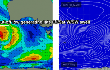
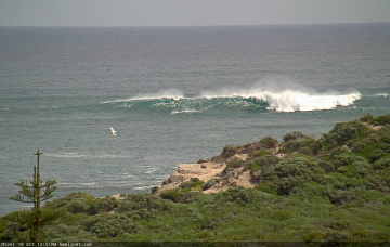
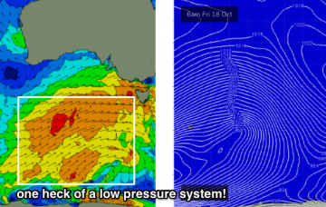
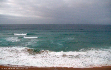
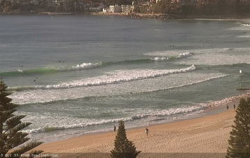
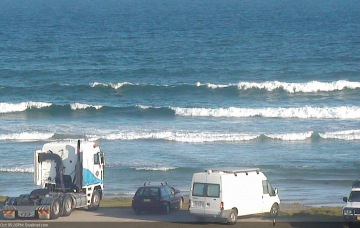
Coupla fun south swells on the approach
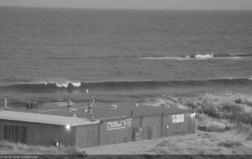
First things first - we’ve got an extended period of mediocrity across SE Qld. More in the Forecaster Notes.
The models really aren’t handling this current southerly swell, nor any of the upcoming energy due throughout the week. More in the Forecaster Notes.
Tomorrow is looking great across the Victor stretch. More in the Forecaster Notes.
During Wednesday, the regional wave buoys will pick up the leading edge of a long range groundswell, generated over the last few days from an unusually stationary sequence of lows out near Heard Island. More in the Forecaster Notes.
We’re looking at freshening easterly winds on Saturday, as a trough deepens along the coast, so conditions will be clean across all regions. More in the Forecaster Notes.
We’re still looking at solid swell event building steadily through Saturday, peaking overnight or perhaps early Sunday morning and then trending down late Sunday afternoon. More in the Forecaster Notes.
We’re still looking at large swell event building steadily through Saturday, peaking overnight and then trending slowly down into Sunday. More in the Forecaster Notes.
Strong to gale force winds are expected across exposed coasts for much of the weekend. More in the Forecaster Notes.
The low in the southern Tasman Sea is moving rapidly to the east, which isn’t favourable for swell prospects. More in the Forecaster Notes.
So, we’ve got a weekend of two halves. More in the Forecaster Notes.