Current swell ebbs away with spell of tiny surf ahead
Monday, 5 August 2024
Current swell ebbs away with spell of tiny surf ahead
Monday, 5 August 2024
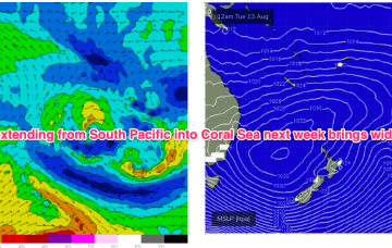
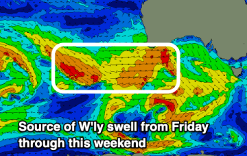
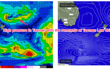
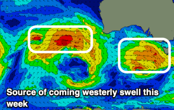
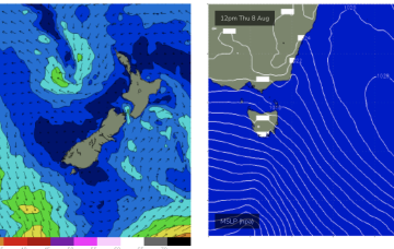
Zonal fronts below Tasmania will bring plenty of W’ly ridging but not much surf so we’ll see tiny surf develop this week.