Improving conditions over the weekend with a dynamic outlook next week
Friday, 26 April 2024
Improving conditions over the weekend with a dynamic outlook next week
Friday, 26 April 2024
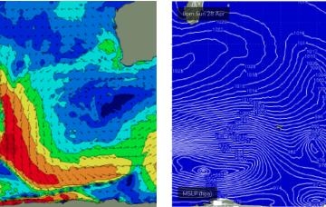
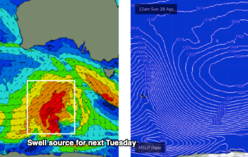
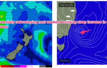
Things get interesting/dynamic from Tues. At issue is a trough and potential surface low in advance of a major high pressure ridge.