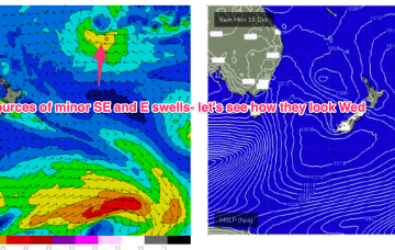
A few small waves short term, better outlook on the radar

freeride76

A few small waves short term, better outlook on the radar

freeride76

On the back of a monsoonal surge models are starting to look interested in low pressure development between PNG, the Solomons and Vanuatu which may indicate the first real tropical developments of the season. Still too early to have any expectations on surf potential from this area but we will keep our eyes on it.

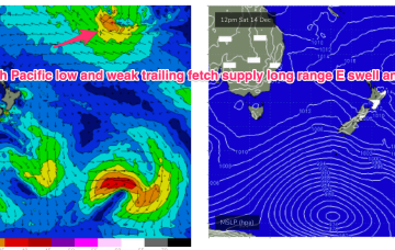
Flukey S groundswell short term, potential for stronger swells on the radar

freeride76

Flukey S groundswell short term, potential for stronger swells on the radar

freeride76

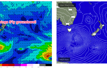
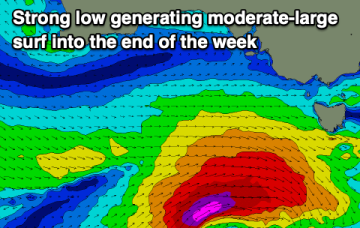
A deep low (962hPa) is currently well to the SW of Tasmania and tracking into the lower Tasman, although being shunted to the SE as it does so. We’ll see some flukey S’ly groundswell from this source. The weak, troughy pattern and mobile high pressure systems extends into next week under current modelling. There are a couple of funky swell sources on the radar during this time frame.

Good week for Xmas shopping with tiny, weak surf on the cards

freeride76

Good week for Xmas shopping with tiny, weak surf on the cards

freeride76

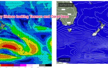
A very weak troughy pattern is unfolding this week with a weak high pressure (1016hPa) cell moving into the Tasman today as a trough stalls about the Far North Coast. Another trough tomorrow brings a shallow S’ly change which again looks to stall out on the North Coast before another weak high cell moves into the Tasman late this week. In short, no major swells expected.