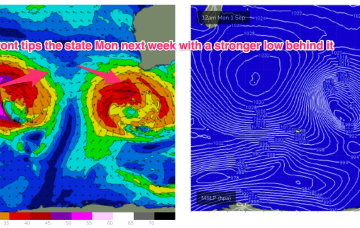
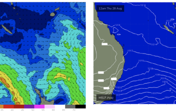
Flag the next seven days, aim for next week 
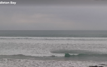
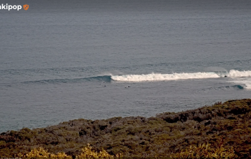
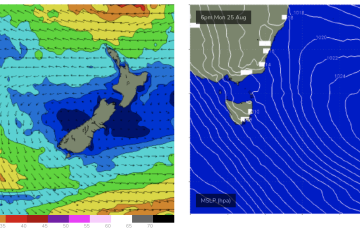
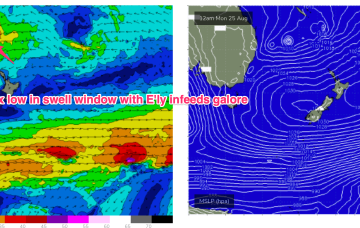
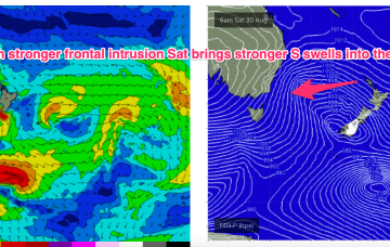
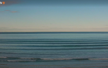
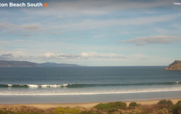
We’re entering a windy wintry pattern for the next week or so, but the surf outlook isn't great for the South Arm.
A new polar low will develop at very low latitudes on Wednesday, before rocketing up to the north-east, wrapping around the primary mid-latitude low on Thursday, reaching the SA coast sometime on Friday with gale force W/NW tending SW winds.
We’re entering a windy wintry pattern for the next week or so, and there’s a bunch of interesting swells on the boil.
A large high (1036hPa) sits well to the west of the state and slowly moves towards the state while exerting a blocking pattern on upstream low pressure systems compared to the near past.
High pressure is moving up over QLD and E’ly winds are deserting the Coral Sea. That will see a period of tiny/flat winter-style surf set in this week and into the weekend.
These low centres are focussing areas of E’ly to NE’ly infeed along the trough line- perfectly aimed at east coast targets all the way down to Tasmania.
These low centres are focussing areas of E’ly infeed along the trough line- perfectly aimed at east coast targets.
A deep Southern Ocean low well to the SW of West Oz today is setting up a better long period groundswell that’ll arrive on Monday morning, and peak late in the day before easing through Tuesday.
Saturday’s looking really fun across both coasts.