Dicey winds, and an unsteady outlook, but there'll be waves
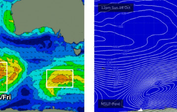
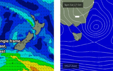
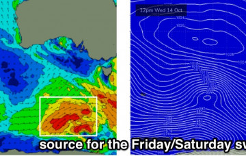
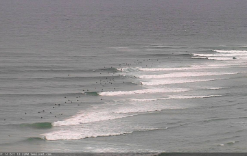
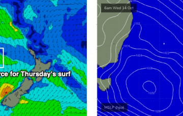
There’s one main window of opportunity across the broader coast this weekend. More in the Forecaster Notes.
Next week has a lot of potential, but the models are highly divergent at the present time so confidence is only low as to how much surf we’ll see. More in the Forecaster Notes.
A series of powerful Southern Ocean lows in our far swell window are generating excellent long period swells that will arrive in succession from Monday evening onwards. More in the Forecaster Notes.
So, the weekend’s winds are still a little flukey but we’ve now got a more easily identifiable window of opportunity. And then a whole series of back-to-back long period swells next week. More in the Forecaster Notes.
A new trough of low pressure crossing the Victorian region on Friday will slowly evolve a new surface low east of Tasmania on Saturday. More in the Forecaster Notes.
The good news is that we have a brand new swell on the way, generated by a polar low tracking under the continent right now. More in the Forecaster Notes.
A new swell will push across the region on Thursday, generated by a polar low traversing the ice shelf earlier this week. More in the Forecaster Notes.
The ridge supplying our current surf will gradually weak from Thursday onwards. Because of its close proximity to the mainland, we’ll see a concurrent easing trend across the coast. More in the Forecaster Notes.
No change to the outlook for the rest of the week, with small peripheral swells on the menu. More in the Forecaster Notes.
Although we’re likely to see freshening northerlies for the most part, these troughs are often quite erratic and have the capacity to deliver variable winds - i.e. from any direction - until it passes. More in the Forecaster Notes.