The Mythical Chart Thread

Good idea. Here's a random selection.
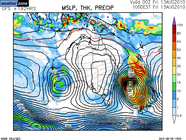
The famed July 2001. Doesn't look so impressive on the charts however...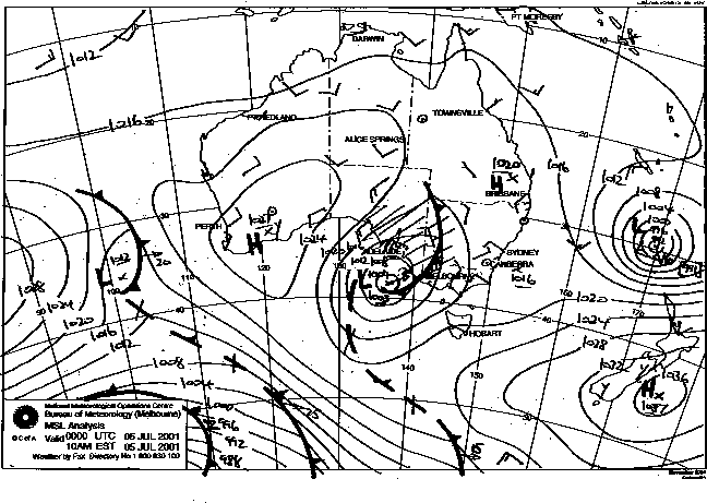
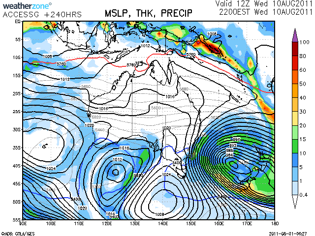
The mega Cloudbreak swell of 2010 (the one when Scardy got THAT barrel).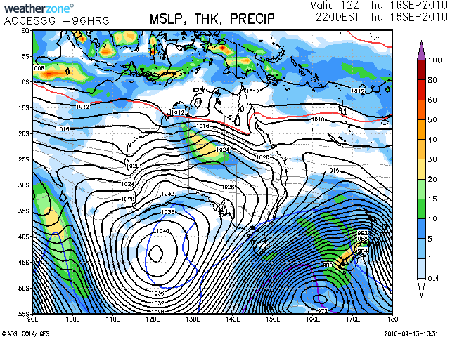
One of my fave charts: Swell everywhere!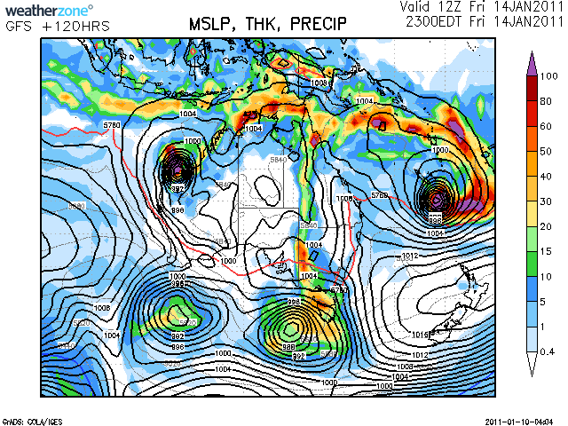
Standard East Coast lows.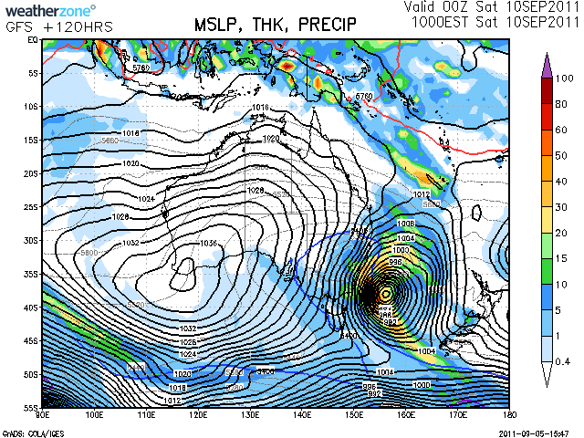
Intense!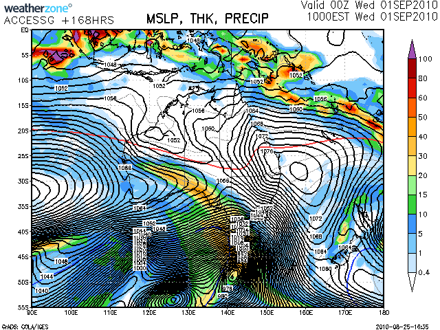

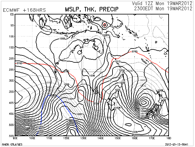
If only!!!

I dom't think that one is too mythical Don.
I think there's a good chance of a deep low anchoring off New Zealand in the Coral or Tasman Sea during early next week producing another excellent swell event for the East Coast.
Here's hoping!! And here's the latest update chart..

Considering what is going on all about said ECL / and mainland continent.
i think the term " anchored stall " , comes to mind ...
I think i even saw a chart of NZ getting smashed then a WNW retrograde or re consoldiation of sorts ,smack bang halfway between Sydney and Aukland ....
Froth about to engage NSW/ QLD , Tas and maybe Vic .
Craig, whilst it does look as though there'll be some action in the Tasman early-mid next week, there's a massive difference in swell heights in SE Qld between the chart I posted and the one you've posted. Easily half the swell size less if not more (less). Meanwhile, you NSWelshmen look to be the beneficiary from this Tasman low!!!
Don't get me wrong....Autumn is here and I'm loving it.....now only if work could close for the next 3 mths!!!!

Looks like GFS and EC are taking turns to do mutual backflips.
The stalled South Island scenario above now looks most likely.
I've created this thread to place links and images to near perfect or big storms that the models love to forecast at long-range from time to time.
This one here is for later next week, and while looks over the top is likely to develop as shown in some form but probably not to the same intensity.
In any case the southern NSW coast should see an extended run of S-SE swell from Tuesday afternoon into the end of the week.