Tuesday options on the Mid North Coast, long term good elsewhere

South East Queensland and Northern New South Wales Surf Forecast by Ben Matson (issued Monday 24th November)
Best Days: Tues: should see good waves on the Mid North Coast mid-late morning onwards, thanks to a shallow S'ly change and a peaky NE windswell. Fri/Sat/Sun: small average waves in SE Qld (but no northerlies!). Mon onwards: good potential for SE Qld/Northern NSW.
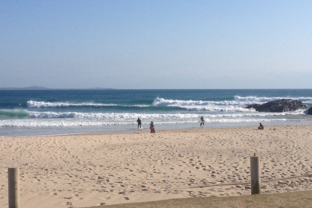
Recap: How have these northerlies been, eh? Bloody tragic. But.. the Mid North Coast saw moderate SW winds on Saturday morning and some cracking waves across the coast (see image below). Northerlies then ruined the waves everywhere on Sunday, and today. Winds are more NE in direction in the south now and are consequently whipping up a robust local windswell (again) for the Mid North Coast.
This week (Nov 25-28)
Tuesday looks like being a repeat performance of Saturday in the south. A fresh southerly change is advancing along the southern NSW coast and is expected to push into the Lower Mid North Coast mid-morning. This will rapidly clean up conditions inside southern corners, which should still be picking up plenty of NE swell (3ft+ sets likely). Late morning looks to be the best window of opportunity here as surf size will ease throughout the day.
However, the change is expected to only advance slowly northwards, reaching Yamba and perhaps Ballina very late in the day. As it is, there won’t be as much size in the NE windswell north of Coffs Harbour (maybe just a couple of feet) so the benefits won’t be quite as pronounced - if the change arrives with enough sunlight hours left in the day.
As for SE Qld - forget it. Very little surf and a continuation of fresh northerly winds.
Wednesday looks a little average in most locations. A ridge is expected to build across the Northern NSW coast, driving moderate to fresh SE winds into most areas.
North of the ridge - essentially the SE Qld coast - winds will remain out of the northern quadrant but they’ll ease considerably. So there’s a tiny positive in a forecast period full of negatives (main problem being a lack of swell). There will be some small trade swell in the mix, originating from a modest ridge between New Caledonia and New Zealand right now, but set waves probably won't top much more than about 2ft.
In Northern NSW, we’ll see a small southerly groundswell push along the coast on Wednesday, but it’ll be biggest at south facing beaches (2ft+ sets) and these locations will be mainly wind affected. So the mid-week session doesn’t look very inspiring right now.
From Thursday, things get a little tricky. A stronger ridge is expected to build from the south, driving fresh SE winds across most areas during the day (early-mid morning on the Mid North Coast, early-mid afternoon on the North Coast, late afternoon/early evening in SE Qld), that'll persist through Friday. They’ll generate some small short range swell for the coast but nothing of any major size: perhaps a low quality windswell in the 2-3ft+ range at exposed spots but wind affected almost everywhere.
We’ll also see a few pulses of small southerly groundswell during this period (only in Northern NSW) emanating from a vigorous frontal progression below the Tasman Sea, but again - no major size is forecast.
So apart from a few small peelers across the semi-exposed points (including SE Qld, finally!) to finish the week there’s really not that much to look forward to.
This weekend (Nov 29-30)
Saturday’s got some interesting swell on the cards but I fear local winds are going to make a meal of things. A stationary ridge across the Northern Tasman Sea is likely to drive moderate easterly winds into most regions, tending northeast in the south on Sunday.
This is a shame - particularly for Northern NSW - as we have a fun round of south swell due Saturday morning, originating from two sources. The first is a rapidly eastwards tracking front embedded in the westerly belt through the southern Tasman Sea on Thursday, and the second from a stalled low pressure system (the parent low related to the week’s supply of small south swells), located well to the SW of New Zealand’s South Island on Wednesday.
This energy is should produce very inconsistent set waves in the 3ft+ range at south facing beaches but current model guidance really doesn’t swing in favour of local conditions. Let's hope the models improve things over the coming days (although I'm not very confident that this will happen).
Otherwise, the ridge across the Northern Tasman should maintain 2-3ft+ of peaky short range east swell across SE Qld and Far Northern NSW. With some luck there may be brief pockets of light winds early morning, allowing for a slight improvement on the surface before the onshores resume. But on the whole, hardly epic - but certainly surfable. And more imprortantly, without a trace of north in the wind.
Long term (Dec 1st onwards)
The long term models have a few interesting aspects. Of main interest is the stationary ridge across the Northern Tasman Sea, which should maintain (as a minimum) 2-3ft+ of peaky east swell in SE Qld and Far Northern NSW into the first half of next week.
Additionally, there is a suggestion that we’ll see a trough develop south-west of New Caledonia, which could be the source of a more prominent, punchy short range swell during this period. It’s way too early to call but is certainly worth putting on the radar.
Otherwise, we’re expecting a steady stream of Southern Ocean fronts to supply small south swells for exposed beaches in Northern NSW. All we need now is the northerlies to stay away, and we'll be in good shape.
‘Till Wednesday…
Comments
Hey thermalben can you tell me why we are getting bigger surf for longer (according to the forecast) on the sunshine coast this weekend compared to Byron/Ballina ta Dom
Being further north in latitude means you're getting more (stronger and longer fetch) of the tradewinds off the top flank of the Tasman high. Expect stronger onshores to accompany the tradewind swell for longer compared to down south also!!!
heading up to crescent head for a week from dec 6th anything in long range forecast for me
Not sure anything on the east coast over about 7-8 days can be deemed reliable.