Windy weekend with improving conditions and options next week
Friday, 15 August 2025
Windy weekend with improving conditions and options next week
Friday, 15 August 2025
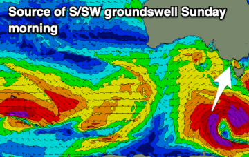
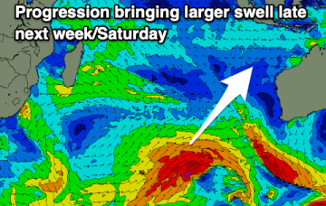
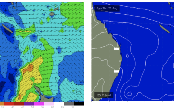
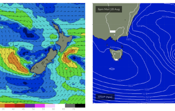
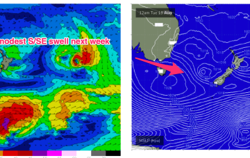
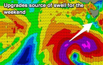
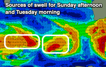
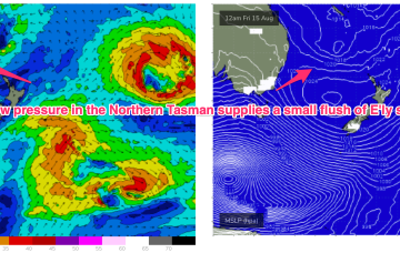
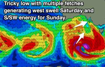
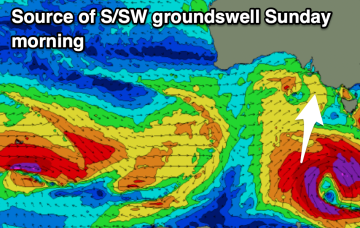
The weekend will be windy and best in protected spots down South, with more options opening up into next week with a couple of fun new swells.