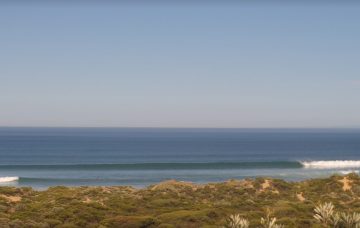
Lots of good windows ahead although winds get tricky later in the week
Monday, 10 March 2025
Lots of good windows ahead although winds get tricky later in the week
Monday, 10 March 2025
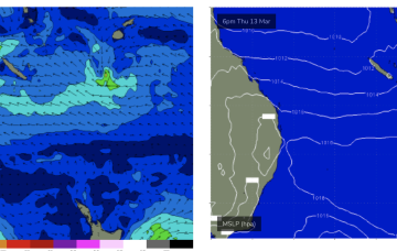
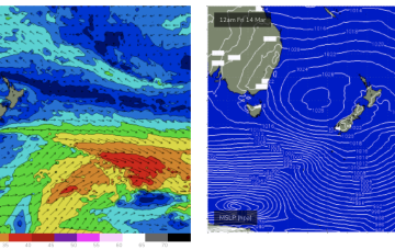
The Indian Ocean is in an active phase with a storm track concentrated on disturbances SW of Heard Island and tracking below the state maintaining intensity. Locally, a ridge under the state is being enhanced by a trough moving down the coast from the Gascoyne, eventually forming a low off the SW corner before it moves inland again.