Strong swell pulses with tricky winds
Friday, 20 September 2024
Strong swell pulses with tricky winds
Friday, 20 September 2024
Protected spots will fair best over the coming period until Tuesday.
Protected spots will fair best over the coming period until Tuesday.
The peak of each swell looks to arrive with less than ideal winds.
Tradewinds are expected to develop in the Coral Sea through next week, leading to rideable surf from mid week.
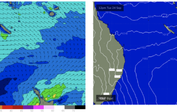
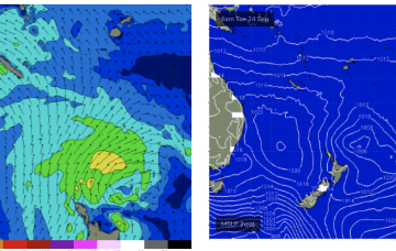
No change to the wind outlook for the weekend- zonal fronts and weak high pressure to the west and well out in the Coral Sea supply W’ly ridging across Tasmania so more mod/fresh W tending NW winds across the weekend with minor S swells.
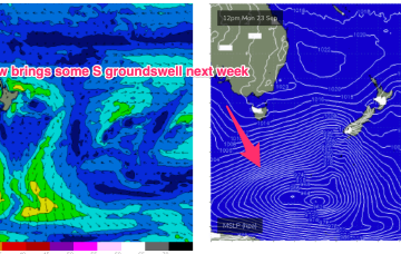
Doesn’t look we’ll see much swell of significance from these zonal fronts so expect small swells from the S over the weekend, only really favouring S swell magnets in NENSW.
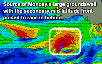
Large, windy surf will persist over the weekend before improving inside the gulf early next week.
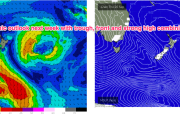
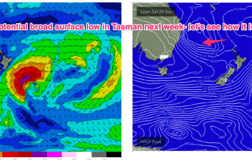
Model divergence reduces confidence in the outlook with GFS suggesting the trough deepens into a broad surface low which would bring days of elevated S through SE-E/SE swell and onshore winds.
We've got a great run of surf for the experienced with it coming to an end Wednesday.
Lots of action in the Maldives, slimmer pickings across Indonesia until late month.
The next high pressure ridge will build in on Tues next week and if current modelling holds we should see weak but persistent tradewinds develop in the Coral Sea mid next week with small but rideable surf developing Wed or Thurs.