Small S pulses this week, more NE winds swell on the weekend
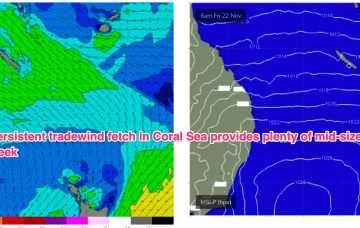
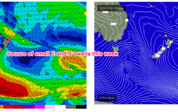
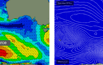
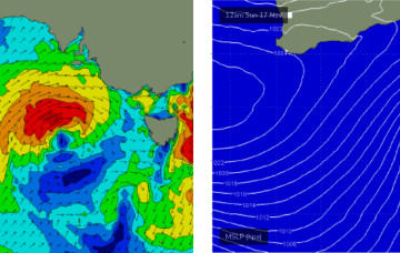
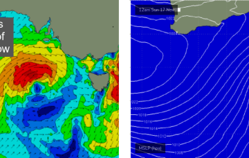
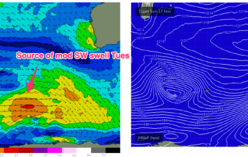
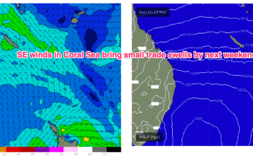
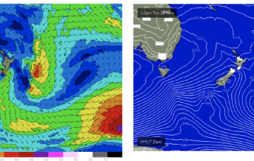
We’ll see some small S pulses and NE windswell on the menu this week.
Tradewinds will supply workable swells for the sub-tropics medium term with small pulses of S swell this week favouring NSW.
A large high is approaching from well south of the Bight and expected to occupy the Tasman from Thurs, with a more summer style wind pattern of SE-E winds in the sub-tropics and NE winds in temperate NSW. Tradewinds will supply workable swells for the sub-tropics medium term with small pulses of S swell this week favouring NSW.
A new SW groundswell is expected to fill in during the morning, generated by a strong polar low developing east of Heard Island from Sunday onwards.
A series of stronger fronts will then cross the coast overnight on Saturday through Sunday, bringing strong W/SW winds to all areas.
OK, I’m gonna downgrade my outlook for the Monday swell.
Into next week and offshore winds freshen into Mon as a new trough forms offshore from the Gascoyne and moves southwards.
Better signs ahead as a stronger high approaches Tasmania later next week, building a stronger ridge and a better tradewind coverage in the Coral Sea from Wed.
Winds shift more N’ly through Sun, then NW-W/NW and we’ll see some real size as the fetch reaches peak strength through the morning.
We’ll see the NE flow ramp up on Sun across the MNC, grading lighter the further north you go, as an approaching front and cut-off low really tightens the pressure gradient.