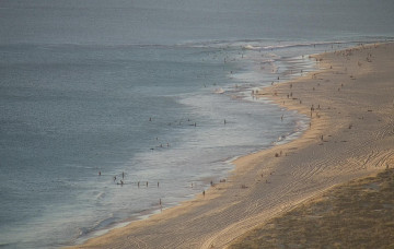
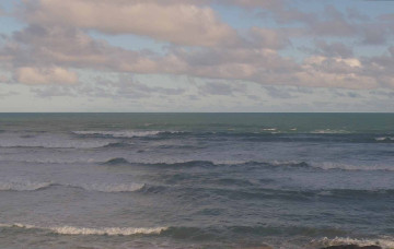
Average weekend; pockets of good waves next week
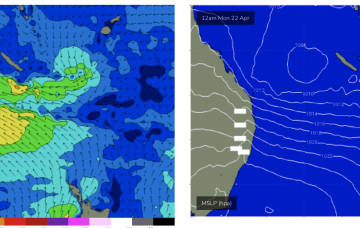
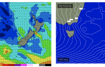
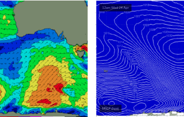
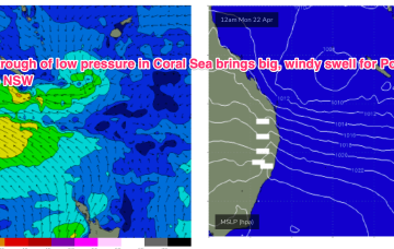
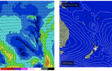
A strong frontal sequence through the Southern Ocean right now will generate a sequence of new long period swells for Monday and Tuesday.
By Mon morning we should have a complex trough of low pressure NE of K’gari (Fraser Is) with a well developed fetch of strong SE winds feeding into the low and extending well out into the Coral Sea.
Further ahead and things look juicier later next week as a strong cold front sweeps in and conjoins with an area of low pressure exiting the Gippsland coast.
We've got plenty of surf lining up for next week though we have a few days of tricky winds to contend with.
By Mon morning we should have a complex trough of low pressure NE of K’gari (Fraser Is) with a well developed fetch of strong SE winds feeding into the low and extending well out into the Coral Sea.
As the low moves offshore Fri odds are firming we’ll see a major S swell develop as gales develop on the western flank of the low, proximate to the NSW coast.
A low point in swell activity is expected on Thursday morning, before we see the leading edge of a new swell sequence arrive later in the day.
Looks like a few days of craptacular surf across the coast - not enough size for the Mid, and persistent onshores down south as a front crosses through our longitudes. Next week looks much different though.
The gist of it is a trough line in the Coral Sea, which may deepen into a low pressure system and drift towards the North Island (GFS scenario) or move towards the QLD coast as a coastal trough and intensify a NE infeed into the CQ coast, possibly as early as Sun bringing a major increase in E-E/NE swell.
Into the weekend and we will see conditions improve as a high moves to the north of the island and fronts to the south bring about westerly ridging.