A couple of windows between large, onshore surf
Wednesday, 5 June 2024
A couple of windows between large, onshore surf
Wednesday, 5 June 2024
There are a couple of windows worth targeting this period between fronts and swells.
There are a couple of windows worth targeting this period between fronts and swells.
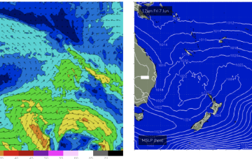
A trough developing on Thurs/Fri should see some small E swell develop later Fri and extend into Sat.
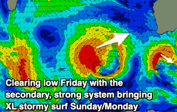
Sunday is a different story as a strong front joins the developing low, bringing a fresh S’ly flow and a building S swell in the a’noon.
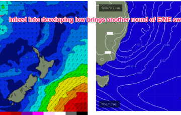
Troughy remnants remain off the North Coast and South Coast interior and these troughs are expected to deepen and reform into another surface low through Fri into the weekend with another round of E/NE infeed swell and S swell although much more subdued than last weekends swell.
The Mid Coast will continue to offer fun westerly swell pulses with workable winds, clean and good down South generally as well.
Troughy remnants remain off the North Coast and South Coast interior and these troughs are expected to deepen and reform into another surface low through Fri into the weekend with another round of E/NE infeed swell and S swell although much more subdued than last weekends swell.
Troughy weather and onshore winds look to spoil the coming week at least.
The South Arm will be more miss than hit this period, try further afield.
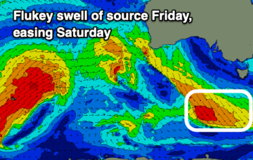
There is a sliver of hope if a trough deepens off the Fraser Coast Thurs before moving south. That may see a small bump in swell later Thurs into Fri.
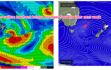
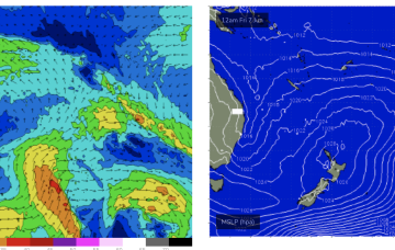
At 6am the coastal low is tucked in very close to the NSW/Victorian border with gales aimed primarily at Gippsland and NE Tasmania generating huge E’ly swells for NETas. By midnight the gale force flow ceases and by tomorrow all the flow will be W’ly through Bass Strait.