Smaller surf for the weekend, more action from mid next week
Friday, 10 March 2023

Smaller surf for the weekend, more action from mid next week
Friday, 10 March 2023
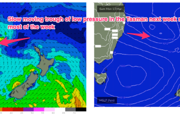
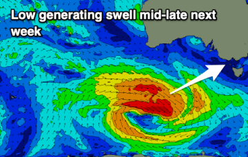
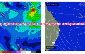
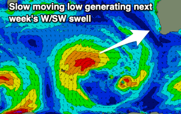
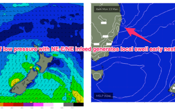
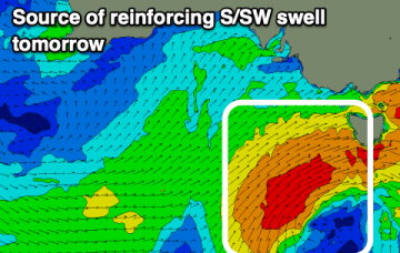
Light winds and clean conditions down South tomorrow, poor Sunday. A mix of W/SW and SW swells will fill in from the middle of next week.