Windy weekend of new westerly swell
Friday, 16 June 2023
Windy weekend of new westerly swell
Friday, 16 June 2023
The weekend will be windy but good across selected spots with some strong new westerly swell energy.
The weekend will be windy but good across selected spots with some strong new westerly swell energy.
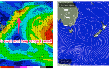
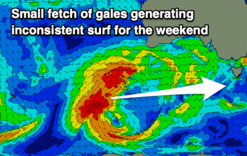
OK, the continent is covered in high pressure, now drifting out over NSW into the Tasman and right across our wide swell window we’ve got very placid sea states leading to a continuation of small, weak surf.
OK, the continent is covered in high pressure, now drifting out over NSW into the Tasman and right across our wide swell window we’ve got very placid sea states leading to a continuation of small, weak surf.
Tradewinds are dissipating in the Coral Sea with surf becoming tiny/flat into the weekend and most of next week.
Approaching mid-latitude lows are too far north and too zonal (W-E) to offer any swell sources for NETas, so surf is expected to stay tiny/flat through the end of this week.
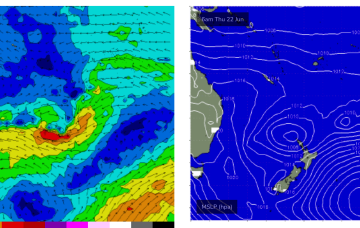
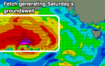
We’re midway through a pretty sleepy week, swell-wise. A high pressure cell is drifting across the interior of the continent with a trough/front connected to a high riding low pushing East of Tasmania through today. Thats’ driving a mod/fresh synoptic W’ly flow across most of NSW and extending up into the sub-tropics.
We’re midway through a pretty sleepy week, swell-wise. A high pressure cell is drifting across the interior of the continent with a trough/front connected to a high riding low pushing East of Tasmania through today. That's driving a mod/fresh synoptic W’ly flow across most of NSW and extending up into the sub-tropics.
The coming outlook remains slow, with early next week possibly providing more potential.
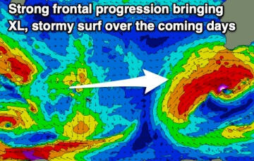
Strong onshore winds and building surf will be seen over the coming days, improving considerably as it eases on the weekend.
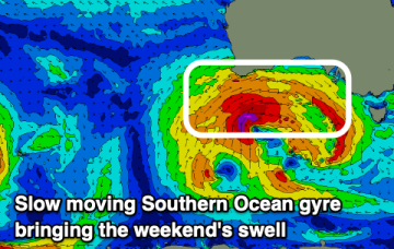
The swell will ease into this afternoon ahead of some new energy later week, but more so on the weekend with winds out of the north-western quadrant.