Sydney, Hunter and Illawarra Surf Forecast (issued Wednesday 5th February)

Hey Ben, how'd ya get that zoomed out OSCAT view? Did you physically join all the zoomed in views together to make the new zoomed out image?

Yep, a quick dash of photoshop stiched them all together. However we've been sourcing a raw feed for a while with the aim of displaying this data in our own format on the website (one of many new products to come).
How confident are you with the swell on late Thurs/early Fri, Ben? The other surf forecaster hasn't made any mention of it in their notes or on their graphs. Also, any lag time for the swell to hit the Mid North Coast??
Pretty confident Atticus. Yeah there'll be a lag time for the Mid North NSW coast - may not arrive until close to dark at some spots. The early Friday session should be good though (NNSW/SE Qld notes are being prepared now).
Only thing that worries me about this event is that it's expected to peak overnight. However there's enough strength/duration in the low to expect a decent amount of size through until Friday morning (and model data supports this theory too, which is also encouraging).
Thanks Ben. Friday's schedule is now set.
Just so impressed with your indepth detailed reports. I work my whole life family and work
around your reports.THanks heaps
Thanks guys, I really do appreciate the nice words. It's refreshening to be back on the forecasting bench!
May be reading your forecast wrong Ben, but seem to be showing as 3 foot for late today (Thursday). Just checked Maroubra and it was whacking in way bigger than that.
4-5 foot on the sets I would have said, and maybe bigger and consequently out of control at more southerly aspects.
Cheers
batfink_and_karate wrote:May be reading your forecast wrong Ben, but seem to be showing as 3 foot for late today (Thursday). Just checked Maroubra and it was whacking in way bigger than that. 4-5 foot on the sets I would have said, and maybe bigger and consequently out of control at more southerly aspects. Cheers
Did you read the notes B+K (above)? I wrote:
"As such I think Thursday morning will mainly see residual leftover energy from today, before we start to see some solid sets pushing through late Thursday afternoon from about 3pm-5pm onwards. Towards dark, size should start to push the 4-5ft+ range at various reefs and exposed spots. "
Pretty well bang on.
As for the graphs - that's raw model output, and whilst very useful (and usually pretty accurate) is only a guide. Our forecast notes will always offer a more comprehensive forecast that fine-tunes the model output.

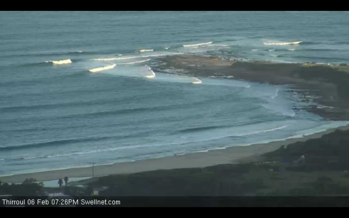
Just had a session at Sandon with very good five-to-six foot sets coming through regularly. Starting to get solid. Great looking swell too, shame about the light onshore.
Screenshot from our surfcam taken a minute or so ago.
I see now that your forecast notes refer to a 4-5 foot swell on Thursday arvo, which is pretty spot on from what I saw.
Incoming!

Sydney, Hunter and Illawarra Surf Forecast by Ben Matson (issued Wednesday 5th February)
Best Days: Late Thurs/Fri: strong SE groundswell. Sat: small clean leftover SE swell. Sun: decent but inconsistent E’ly swell.
Recap: A peaky combo of NE windswell and easing E’ly groundswell padded out Tuesday morning before a gusty S’ly change pushed through mid-morning, building a new S’ly swell into the afternoon. Winds are onshore SE today with a moderate S/SE swell that’s really not offering anything worthwhile.
This week (Feb 6-7)
Righto. Last Friday I mentioned the possibility of a cut-off low developing in the lower Tasman Sea this week (see notes here), with a resulting SE groundswell on the cards for this Friday. Over the weekend, model data held true so Monday’s forecast remained on track.
Today, we’re now finally in a position assess satellite data of the low (which formed late yesterday) and the good news is that it’s looking very strong, and close to the model predictions of five days ago. As per the image at the bottom, the OSCAT returns are showing a very tight system with embedded wind speeds of 50-60kts at the core of the low. It’s not aimed perfectly towards the East Coast however the back (southern) flank is in a pretty good position, along with the near-stationary nature of the fetch since last night that’s expected to persist into tomorrow.
The only change to previous forecasts is that the low is marginally closed to the Australian coast than previously estimated, and the fetch is a little stronger - which won’t really affect forecast wave heights to a great degree - BUT - it’ll slightly speed up the arrival time of this swell (although late Thursday was tipped as a possibility in Monday’s notes). And because of the swell direction (straight SE) it’ll probably arrive almost-simultaneously along much of the southern NSW coast so there won't be much advanced warning (under S’ly swells we can monitor the swell’s arrival as it pushes along the coast, but this won’t be possible on Thursday).
As such I think Thursday morning will mainly see residual leftover energy form today, before we start to see some solid sets pushing through late Thursday afternoon from about 3pm-5pm onwards. Towards dark, size should start to push the 4-5ft+ range at various reefs and exposed spots. Unfortunately, this swell looks like it’ll peak under the cover of darkness however I still think there’ll be a reasonable amount of size at first light Friday morning (anywhere between 3ft and occ 5ft) - but the trend will be downwards all day so get in early for the biggest waves. Also, expect smaller waves south of about Wollongong due to the alignment of the fetch more towards northern coasts.
Friday looks pretty good conditions-wise with light variable winds for the most part, probably a light offshore land breeze at dawn, trending light to moderate onshore throughout the day.
This weekend (Feb 8-9)
Saturday looks like we’ll be on the backside of Friday’s swell with small residual swells and early light winds tending NE in the a’noon and freshening. Fortunately, we’ve got a small new pulse of E/SE swell due Sunday, originating from the remnants of the Tasman low, which is expected to consolidate with a weak tropical low currently tracking SE from New Caledonia to a position somewhere west of New Zealand’s North Island later this week, resulting in a reasonable E’ly fetch.
At this stage we’re looking at inconsistent sets from the E/SE in the 2-3ft+ range for much of Sunday (the swell will arrive overnight Saturday) and early light NW winds will swing fresh NE throughout the day so get in early for the best waves.
And just to recap on another event discussed in Monday’s forecast - unfortunately, the computer models have essentially evaporated a stronger system (the remnants of the redeveloped ex-TC Edna, in fact) that was progged to form in the central Tasman Sea on Saturday, leading to a possible solid short range E/NE swell. The models have downgraded this system considerably and it’s no longer expected to generate any swell south of the Northern NSW coast.
Next week (Feb 10 onwards)
Nothing major on the cards for next week at this point in time. On Monday there was a strong suggestion that we’d see a broad easterly trade wind belt develop north-east of New Zealand, but the models are a little weird right now and have been jumping around a lot lately (most likely due to three tropical lows in the Qld region, which are playing havoc with things). As such, I’m going to reserve any expectations from our eastern swell window until Friday’s update,
Fortunately, there’s more confidence in what’ll happen in the Southern Ocean and at this stage we’re looking at a very strong and broad low traversing the waters south of Tasmania early next week. This should generate a long period south swell for Tuesday or maybe Wednesday, however it’s too early to have any confidence on size/strength/timing etc as well as local winds. Check back on Wednesday for more details.