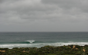
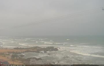
Easing surf into the weekend with a few small bits and pieces next week
Wednesday, 26 October 2022

Easing surf into the weekend with a few small bits and pieces next week
Wednesday, 26 October 2022
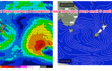
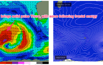
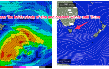
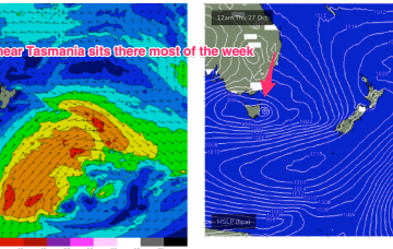
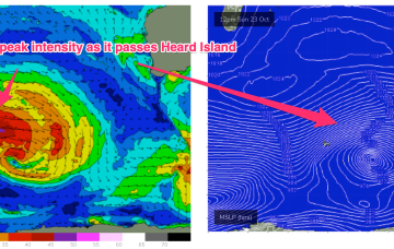
Our Coral Sea low is now sitting just NE of Tasmania where it has merged with an exiting interior low to form a large, slow moving low-pressure gyre. Troughs are still snaking across Australia with a long trough line extending from the low pressure gyre through inland NSW up towards QLD and then into the Northern Territory, expected to move offshore through today. More inland troughs approach the coast during the rest of this week, driving an unstable but basically NW’ly to W’ly biased wind flow across the f/cast region through the end of the week with easing swells.