
Winter Retrospective 2026

Spring has well and truly…arrived across most of Australia and it gives us pause to reflect on the winter just gone.
In general, it was a lacklustre affair across the New South Wales and Queensland regions - generally good weather, small waves. In contrast, the southern states reaped the rewards of the Southern Ocean’s strengthening response to the El Niño signal building in the Pacific.
That said, select regions across NSW performed better than others, though in terms of large, pumping swells, they were few and far between.
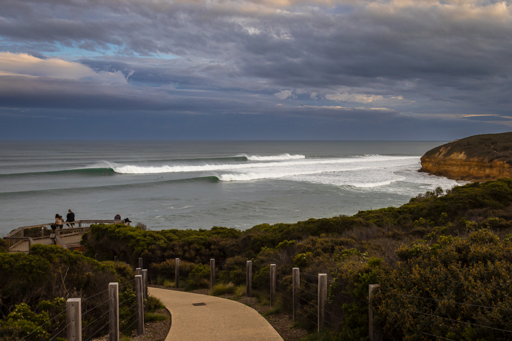
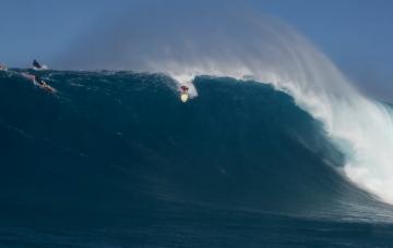
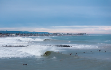
Days like this were plentiful during the Surf Coast's El Niño winter (Arklay)
Though El Niño is largely centred on the eastern Pacific, its effects radiate across the entire Pacific basin, and even beyond - for instance, the lack of Atlantic hurricanes is a direct result of excess air rising over the Pacific then sinking over the Atlantic which subdues tropical developments.
In the Australian context, the mechanics behind our El Niño driven winter is as follows.
The large volume of warm water sitting across the central and eastern Pacific associated with El Niño years creates a large mass of rising air. To balance this, cool polar air is transported northwards assisting the development of Southern Ocean swell activity.
The signal is most pronounced south of Australia and New Zealand, but also to the south-east of South Africa (hello Indonesia), though one main point of difference this past winter was that while the Furious Fifties and Screaming Sixties played their part, the Roaring Forties were somewhat subdued.
What this translated to across Victoria and South Australia was a standout winter of swell and conditions - not overly large but generally clean thanks to the frontal activity being active yet staying at arm’s length from the continent.
The peak in activity away from the Western Australian coast also allowed for multiple days of large to extra-large surf under offshore winds for the Margaret River region. Combined with their stellar summer and WA’s SW is having a year to remember.
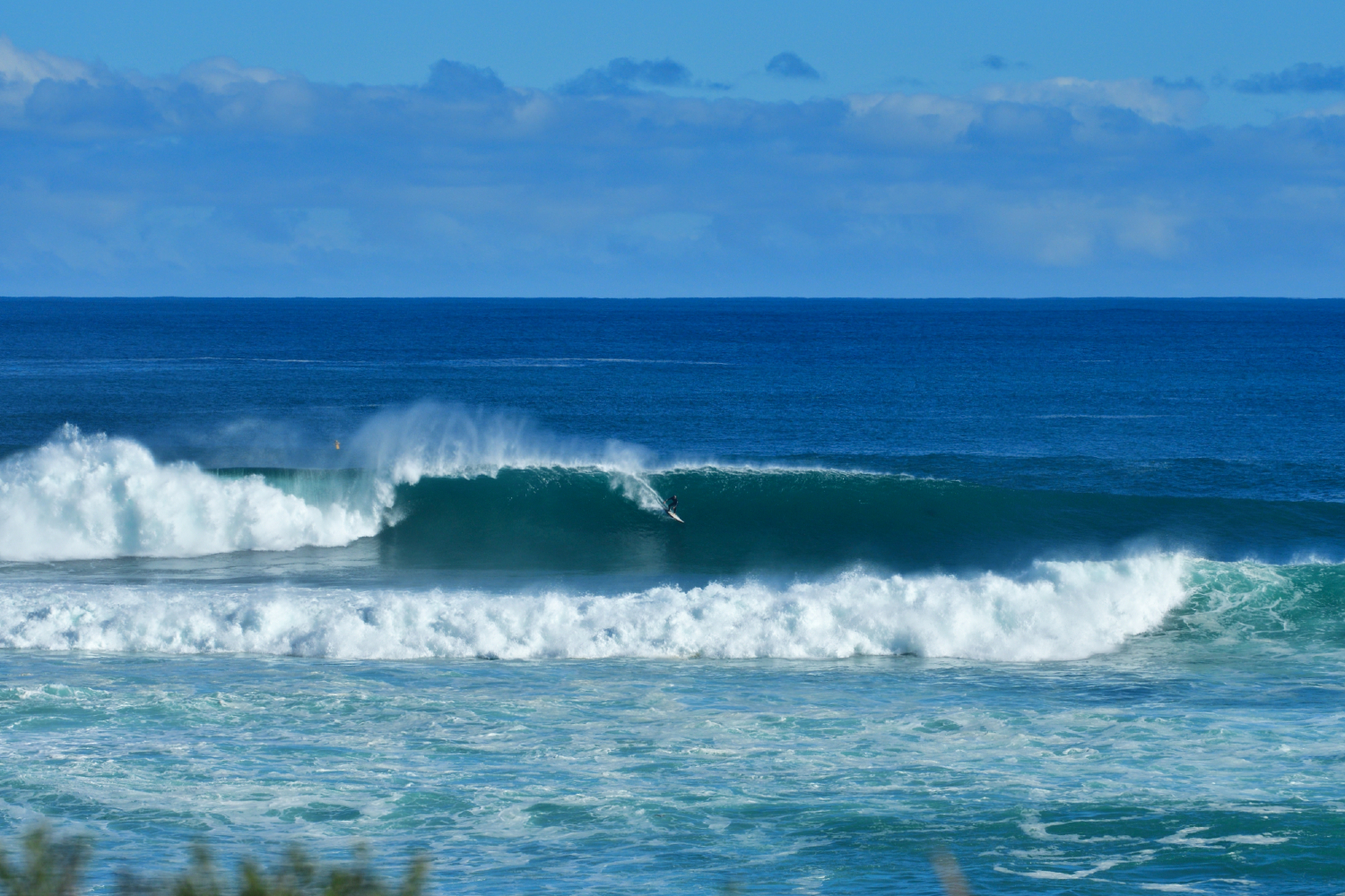
A 'smaller' day in the South West this winter (Gullan)
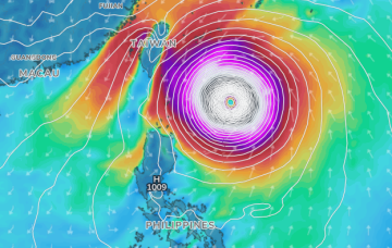
The image below shows the pressure anomaly - difference from the mean - for winter. A strong high pressure anomaly sat across the mid-latitudes, providing the settled weather in the SW, while being strongest in the Tasman Sea. The deep red equated to a block on the East Coast’s east and south-east swell windows.
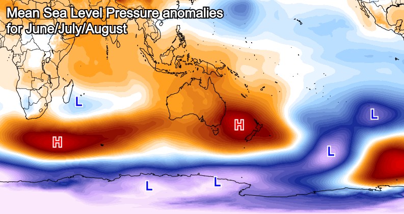
Note the low pressure anomaly around the South Pole - shown in purple - with the interaction between high and low pressure anomalies driving stronger than normal zonal winds (west to east). This is the mechanism behind the southern states and Indonesia having such an active swell season.
This is even more visible in the zonal wind anomaly chart for the same period - see below - with the red shading showing stronger than normal westerly winds south of the Tasman Sea and Indian Ocean, while blue/purple shows weaker, if not reversed easterly breezes. Sunshine Coast I’m looking at you.
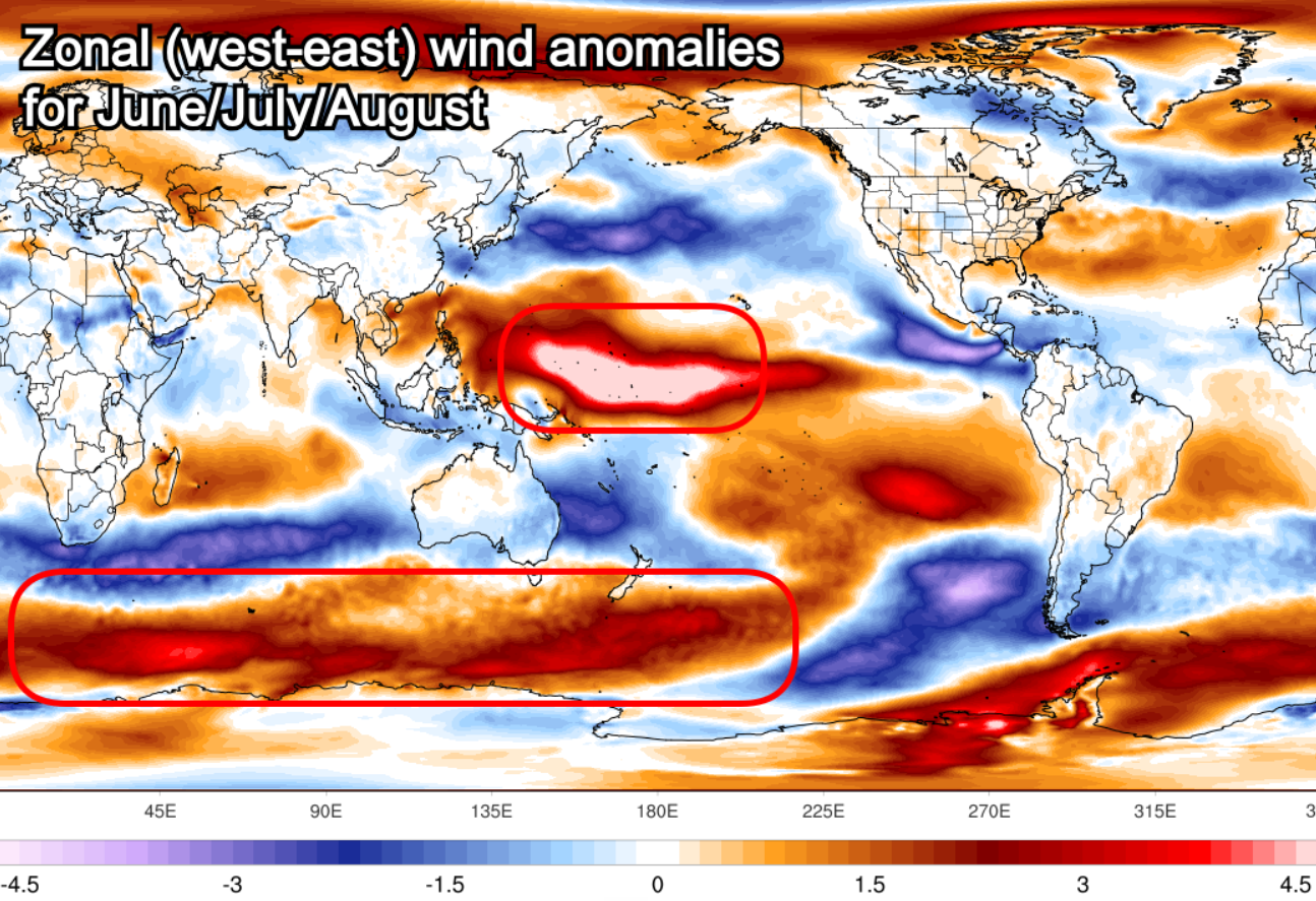
Savvy readers might also notice the white-hot wind anomaly sitting across the western Pacific Ocean. That’s directly linked to the El Niño - in fact it’s those winds helping to pile up the warm water in the eastern Pacific.
As that region would usually have easterly trades, the current strong westerly conditions are playing havoc across Pacific locales - we’ll have more on this in an article to come.
Looking at the months ahead, the Southern Ocean frontal activity should remain active to the south-east of South Africa and the south-east of Australia, though high pressure looks to encroach on most of the southern states.
The end result will likely be an active spring swell season for Western Australia, while Victoria should also remain active with more southerly-angled swell, albeit with less reliable winds.
For the East Coast, southerly swells under northerly winds are set to prevail, though keeping an eye on the regional Forecaster Notes will provide a much better insight to what’s expected locally.
Comments
Thanks heaps Craig. Far out that wind anomaly map is a trip. Does the easterly anomaly for the er, Someshine Coast (sorry), explain the forecasts we've had of a week to ten days of 0-2mm of rain every day?
This kind of thing has been pretty common the last six months (probably more than that too) and generally means small scattered showers sputtering in off the coast from the SE-ESE. Right now we've got no rain forecast on Sunday but aside from that every day until next Wednesday is 0-3mm or thereabouts.
Indeed, sitting on that northern flank of high drives the onshore winds and rain. Usually the high sits a bit further north during winter and is weaker.
Here's the average from 1990-2020 (right) compared to this year (left).
Wow yeah look at that. Thanks Craig.
Only a fool would live this far north and surf!
What does the sign convention mean in that last wind anomaly chart? A positive anomaly means? A negative anomaly means?
Hey Don, as stated in the article..
"with the red shading showing stronger than normal westerly winds south of the Tasman Sea and Indian Ocean, while blue/purple shows weaker, if not reversed easterly breezes."
It's the U component wind, + when westerly and - when easterly.
Thnaks Craig. So the blue, orange/brown, blue across the equator in the indian ocean means?
It is tricky to decipher without looking at the long-term climate average for this time of year.
This is displayed in the below image. IE the 1990-2020 average zonal winds for winter.
And comparing it to this year's winds..
What we can see is that there's been a reduction but not flip of easterly winds through the Central Indian Ocean this year (weaker blue), but that shows as brown on the anomaly chart as it was quite a reduction.
Across the Maldives we've seen slightly stronger than normal westerly winds just east of the islands and stronger than normal south-east winds off Sumatra.
The westerly winds have also been weaker off East Africa as well.
If we look at the western Pacific you can see how on average for this time of year we don't see too much in the way of wind, but in 2026 we've seen that westerly wind anomaly pop up as shown in the second image.
Thanks for the detailed response Craig.
beer drinking weather
How did NW WA fare this winter?
Interesting position of the high- just far enough south that Agnes Waters broke many, many days this winter instead of the traditional winter dead flat spell.
And also causing that showery pattern here anytime we got moist south-east winds.
It's definitely not the bone dry typical El Niño winter into spring for this far NENSW region.
Lot of farmers complaining about too much rain - delaying the cane harvest for eg, than too little.
Interestingly, its been a lot drier just south from about Evans or thereabouts. Markedly different fire conditions south from here (and along the Northern Tablelands), compared to the Far North Coast.
From checking the cams most days, Agnes has had a way better year of waves than here
From the first map you can see why Jbay has had its worst winter in years.
Indeed.
Typical example of the genre here this morning.
Light shower last night. Warm moist morning with cumulus banks out to sea trailing showers.
Warm enough inshore SST's to generate a light land breeze.
Gurgly 2ft E swell.
If you took March and September as 3 months +- the solstice and showed me a photo of today I could not tell you whether we were + or - the 3 months.
Angle of the sun, Bluewater, gurgley little trade swell, Point is green and lush- looks exactly like a morning in March.
End of September and we are yet to get any nuclear northerlies, despite the full blown record El Niño raging.
Shouldn't be any complaints from Surf Coast surfers (for a change). This has definitely been one of the better winters of recent years.
Quite a few guys in Newcastle area saying past winter WORST in living memory
Lots of swell good winds but if sand banks non existent then it’s just shit surf
Thanks Craig interesting article!