Small leftover surf to finish the week; peaky NE then strong S'ly swell for the weekend

Sydney, Hunter and Illawarra Surf Forecast by Ben Matson (issued Wednesday 31st August)
Best Days: Early Thurs: light winds and small leftover S'ly swell. Sat: developing offshore winds and a building NE windswell; biggest across the south of the state but Sydney beaches should see some fun peaky waves. Sun: offshore winds and a strong, directional S'ly swell. Mon: light winds and a good S'ly swell. Tues: good S'ly swell and NW winds.
Recap: Tuesday started off with small residual southerly swell, but a new pulse built into the afternoon, providing 3ft sets at south facing beaches. A second pulse of southerly groundswell expected to push through overnight never displayed the modeled higher periods, and although wave heights were incrementally bigger this morning, most south facing beaches only just nudged 3ft+ (with a few bigger waves across the Hunter region). Additionally, freshening northerly winds created a worthwhile secondary NE swell that provide 2-3ft waves to NE facing beaches. Winds have mainly been out of the north all day however they have trended N/NW across many locations since early afternoon, and some locations (such as Newcastle) are now seeing a NW flow.
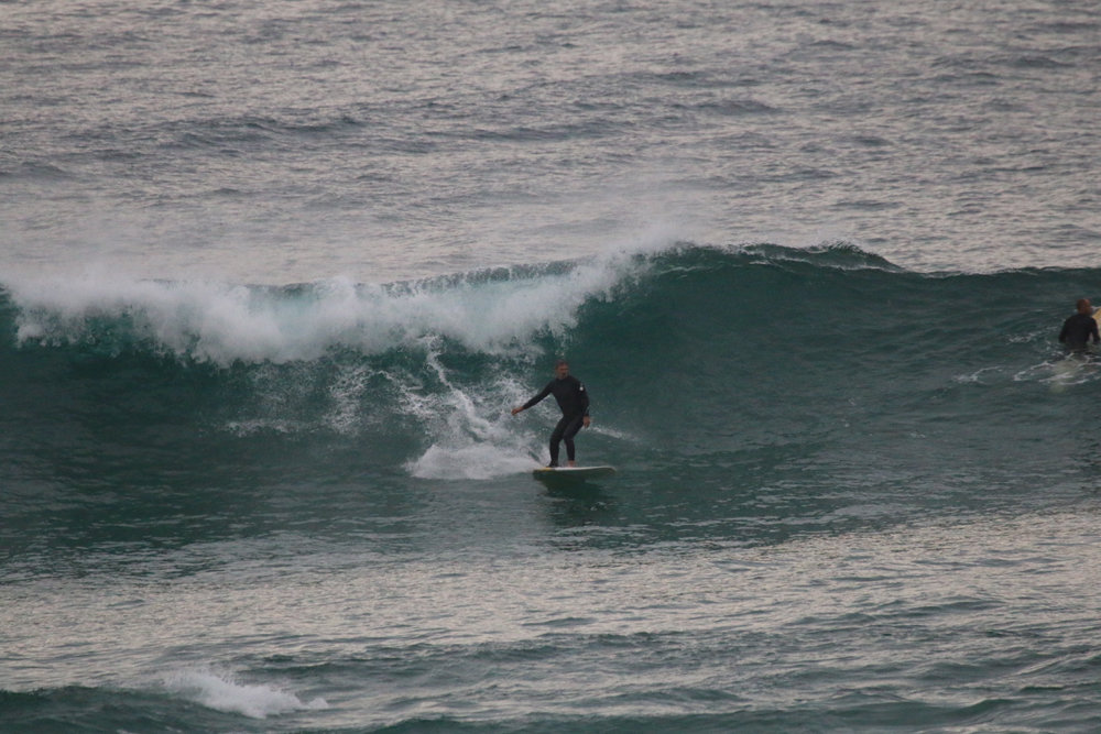
Wednesday morning session in Newcastle, photo Dave Anderson
This week (Thursday 1st - Friday 2nd)
Remember: TODAY is your LAST CHANCE to win a trip for two to the Banyak Islands. More information here.
Nothing special expected for the next few days. The current S’ly and NE swells will steadily ease in size and conditions should improve greatly with mainly light variable winds on Thursday and early Friday ahead of a potential onshore trend on Friday afternoon.
A poorly aligned front pushing east of Tasmania overnight may generate a minor south swell for early Friday morning but I’d be surprised if we saw much more than a lazy foot and a half at south facing beaches.
The wave models are also showing a very long period (17 second) S’ly swell in the water on Friday though it’s of dubious origin - an intense but poorly positioned Southern Ocean low a few days ago, well SW of Tasmania. Once again I’d rate this a pretty low chance of producing any notable swell but a few small long lines can’t be ruled out. The Northern Hunter would be the biggest beneficiary of this energy, with maybe a few stray 2ft sets (smaller surf elsewhere).
Friday afternoon’s pending onshores will be related to a deepening trough over inland NSW that’s expected to form a deep low off the Far South Coast early Saturday morning. The models have the trough off the Sydney/Hunter region early, sliding south during the day, so this could lead to a period of early easterlies then eventually northerlies - though variable winds could occur for a few hours, in close proximity to the trough line.
Obviously, the timing of this is very difficult to estimate as the trough/low will be of continental origin.
As for overall size, today’s swell combo will probably be down to 2ft at south facing beaches by Thursday morning, with a smaller mix of swells elsewhere. Expect every smaller surf into the afternoon and then into Friday, apart from the outside chance of a few glancing southerly lines at south swell magnets intermittently throughout Friday.
This weekend (Saturday 3rd - Sunday 4th)
Before we delve into the developing Tasman Low, it’s worth mentioning that a small front tracking NE from polar origins (well south-west of Tasmania) today and tomorrow is expected to generate a small south swell for Saturday. No major size but south swell magnets may pick up a foot or two of slow swell.
Otherwise, the focus of the weekend is this developing Tasman Low. On Friday, gale force N’ly winds will develop across the Mid North Coast but probably remain very meridional in alignment (i.e. straight north-south). This is not ideal for NE swell generation; today’s fetch for example was N/NE thru’ S/SW which is parallel to the Southern NSW coast and ordinarily we need a little more east on hand to maximise size and consistency.
Nevertheless, the sheer strength and width of this fetch may override some of the directional deficiencies. At this stage 2-3ft sets seem plausible across Sydney beaches on Saturday (smaller across the Hunter coast due to the swell shadow of the Hunter curve) but swell magnets across the South and Far South Coasts could pick up much larger waves in the 3-5ft range.
Had this fetch been aimed directly into our coast we’d be looking at more than double the size than what’s projected above (and I’ve estimated slightly north of our model guidance, of 2ft at NE facing beaches), but I reckon the potential is reasonable at this stage.
Local winds should provide clean conditions all day under fresh westerlies (except for the Far South Coast where SW gales will develop during the day), so fingers crossed this NE swell produces some nice peaky waves across open beaches south from the Northern Beaches.
As the low winds up during Saturday, a S’ly fetch will rotate off the Far South Coast, generating strong if somewhat directional S/SW swell for Sunday. This should provide strong sets up to 3-5ft at south facing beaches on Sunday, though surf size will be much smaller at remaining beaches (the NE swell will be all but gone by this time, with small residual energy for the early session at best).
South swell magnets across the South and Far South Coasts may also pick up a little more size from this source (and possibly a little earlier too, i.e. late Saturday) due to their closer proximity to the fetch.
Conditions look really good on Sunday with moderate W’ly tending W/SW winds south from Newcastle to Wollongong, and fresh W/SW tending SW winds from the South Coast to the border.
Next week (Monday 5th onwards)
A series of strong fronts wrapping into this Tasman Low on Sunday will maintain an active W/SW fetch east of Bass Strait, which should ensure plenty of south swell for Monday, though down in size form Sunday (maybe 3ft+ sets at south facing beaches bigger across the Hunter; smaller elsewhere).
This swell window will ease in strength into Monday, leading to smaller levels of energy (from this source) into Tuesday, however the Southern Ocean below Tasmania will become very active from Sunday into Monday with an intense series of low pressure systems pushing zonally through the region.
Despite the poor alignment within our window, the enormous width of the active sea state and the longevity of these winds means we’ll see an appreciable amount of swell spread back up along the Southern NSW coast. This should provide occasional inconsistent 3ft sets to south facing beaches throughout Tuesday and Wednesday, and bigger surf across the Hunter but smaller waves at beaches not open to the south. I’ll recalibrate the numbers in a little more detail in Friday’s notes.
Monday’s winds look good early with a light variable flow, though NE breezes may develop into the afternoon. Tuesday looks better with moderate NW winds as a front approaches from the south.
One final front is expected to then track NE back through the lower Tasman Sea later Tuesday and should generate a bigger S’ly swell for the second half of the week. Initially we’ll see some short range energy from the head of the fetch - around Wednesday - but poor winds may accompany this increase (3-4ft+).
As such, Thursday and Friday are potentially on notice for a stronger S’ly swell somewhere between 4ft and maybe 6ft at south facing beaches. I’ll have more details on this in Friday’s update.
Comments
Righto. Hard to pick a winner this weekend but Sunday's probably the safer bet of the two.
Still a couple of small clean lines out of the south this morning.
And some small clean lines out of the NE too!
Hoax coast NB. So much rocky coastline, but still, could do with a good groin like the Goldy and Dbah
The Sydney buoy is picking up long period energy (17.4 sec) from the south today but no major size has been seen in the surf zone as anticipated.
Tricky winds across the region as expected too - light and variable from Sydney Harbour up to Newcastle, but winds went moderate SE across the Eastern Beaches and Cronulla mid-morning, fresh (gusting 21kts) at Wattamolla. Fresh southerlies across the Coal Coast too (light/mod SW in the Gong though; same for much of the South Coast too).
Hey Ben, when is the Banyak trip drawn, or has it already been and I just didn't win!
Na, couldn't be that.
Need to know whether I have to plan my own holiday or will be going on a nice long boat trip.
We'll have the announcement next week BF.