Abating conditions from the east; brief windows appearing this weekend and next week

South-east Queensland and Northern NSW Surf Forecast by Ben Matson (issued Wednesday 18th October)
Best Days: Thurs/Fri: easing, slowly improving tho' lumpy E'ly swell with lighter winds. Beware of freshening N'ly winds through Fri. Sat: brief early window of easing E'ly swell and light winds north from Ballina into SE Qld, ahead of a gusty S'ly change. Mon: fun mix of small E'ly and building S'ly swell in Northern NSW (smaller in SE Qld). Tues/Wed: fun E'ly swell in SE Qld, smaller south from Ballina.
Recap: Yeah, there’s been heaps of surf. But nah, it hasn’t really been that good. Persistent E/SE winds have rendered all but the most protected locations quite bumpy, and even those few sheltered spots handling the wind have been very hit and miss.
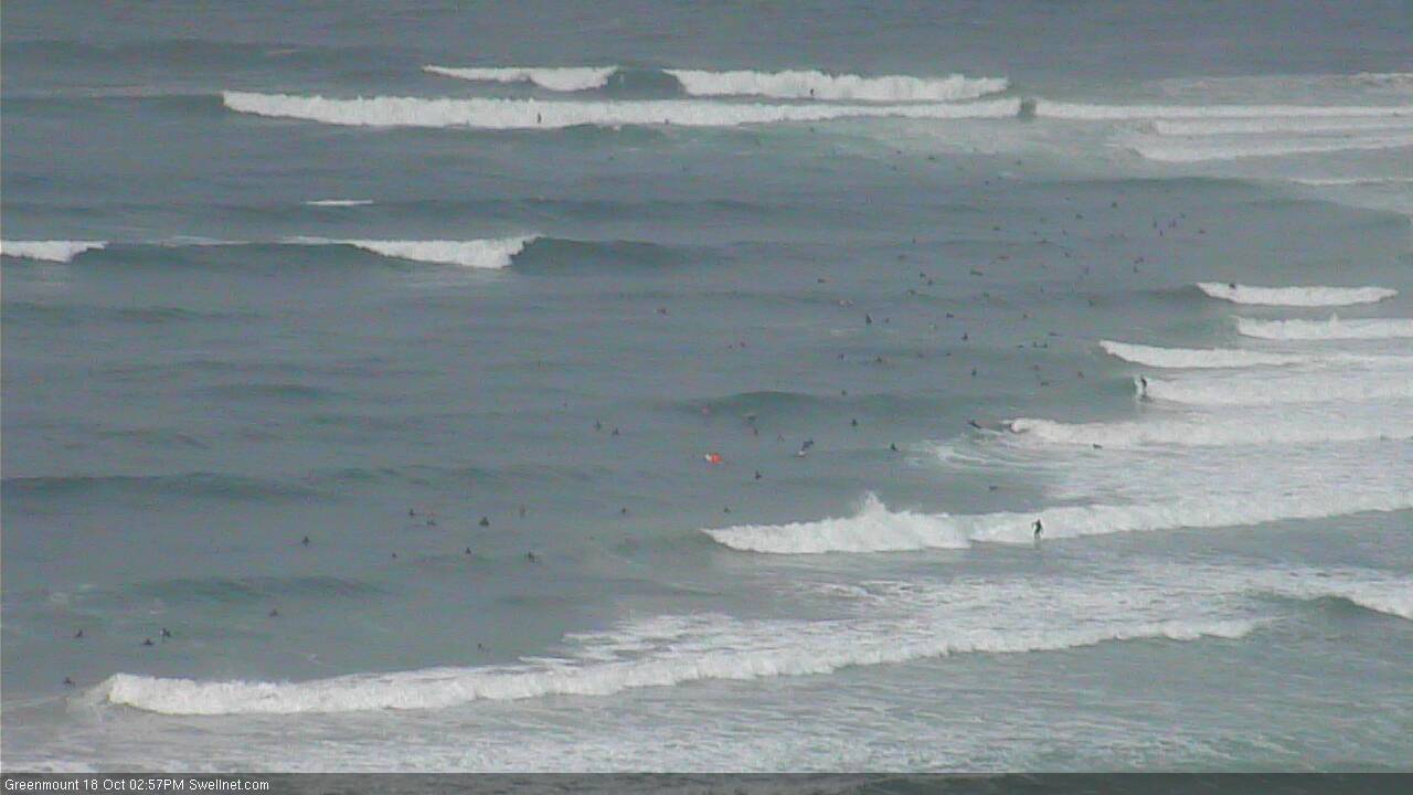
Mid-Wednesday afternoon mess at the Superbank
This week (Oct 19 - Oct 20)
No change to the forecast for the rest of the week.
Our current source of easterly swell is slowly rotating clockwise, aligning itself into the Coral Sea, away from our swell window.
It certainly won’t cause a rapid drop in surf, because the tail of the fetch - whilst not as strong as the head - extends back as far as about New Zealand longitudes, which is about a two day travel time (give or take, depending on a number of factors). So as a very broad rule of thumb, swells being generated in that region today won't arrive until Friday.
In fact, a southerly change currently pushing up the East Coast of New Zealand will strengthen a new ridge through the South Pacific on Thursday and Friday; once again, not very well aligned for our region but enough to keep the open beaches in Far Northern NSW and SE Qld active through early next week as it renews E'ly swell across the region.
But, back to the next few days. Steadily easing E’ly winds in the north (tending more NE across the Mid North Coast) will become variable by Thursday afternoon. Without a synoptic offshore, it’ll take some time for the ocean to properly clean up but surface conditions will probably be the best they’ve been all week at many spots. Relatively speaking, of course.
Wave heights will trend down from here on; maybe some 4-5ft sets at open beaches in SE Qld early Thursday, a little smaller south from about Ballina but losing a foot or so throughout the day, and then continuing down a little more into Friday. Expect smaller waves running down the points too.
Thursday certainly looks the pick of the next few days though, as an approaching front will freshen N’ly winds on Friday. They won’t become too strong across SE Qld, but even a low to moderate devil wind can cause some pretty serious problems at the regional points. Winds will be stronger with increasing southerly latitude which means you’ll have to tuck into a sheltered northern corner south from Ballina by lunchtime.
This weekend (Oct 21 - Oct 22)
Saturday morning is the pick of the forecast period, for SE Qld and perhaps the Tweed and Byron coasts.
We’ll be at the bottom end of the easterly swell cycle with occasional 3ft+ sets at open beaches (smaller on the points), easing further during the day.
However a gusty S’ly change is due into the Mid North Coast overnight and current projections are that it’ll be somewhere near Yamba or Ballina around dawn, reaching the Gold Coast mid-morning onwards and a little later across the Sunny Coast. So surf early for this window of opportunity, and make the most of the slack winds by finding an empty beachbreak to yourself. It's much easier than you think.
Strong S’ly winds behind the change will whip up a low quality southerly windswell for the afternoon. Our model is estimating 3-5ft at south facing beaches (south of Byron) into the afternoon but with 25kts+ S’ly winds on hand it won’t be a pretty site. As such the afternoon will be restricted to protected southern corners which will see a peaky mix of easing E’ly and building S’ly swell.
Sunday looks pretty ordinary on the whole. The models have the change stalling in a broad trough across the Northern Tasman Sea, but maintaining fresh S’ly winds across the coastal margin. Ordinarily this would be workable if accompanied by a strong southerly swell but it’s more likely that we’ll see easing short range energy from Saturday’s blow, as the fetch is not expected to extend very far to the south.
This also means that we may not see much size across SE Qld, whose outer points probably have the most potential at capitalising on the southerly flow. At this stage I’m expecting peaky 2ft+ sets here on Sunday (being a mix of S’ly and E’ly swells), with 3-4ft+ easing surf at south facing beaches south from Byron. In general, keep your expectations low.
Next week (Oct 23 onwards)
On Monday, a new S’ly groundswell is expected to push up the Northern NSW coast, generated by a deep polar low - the parent system to Saturday’s change - traversing below Tasmania later Friday. It won’t be very well aligned for our region but should kick up some 3ft sets at reliable south swell magnets south of Byron.
Elsewhere, we’ll see residual E’ly swell on Monday boosting a little into Tuesday, originating from the fetch I discussed earlier - a restrengthening of the trades north and north-east of New Zealand over the coming days. I don’t like the alignment of the fetch, which means SE Qld will be the biggest beneficiary (easing size south from about Byron), but we should see some occasional 2-3ft sets north of the border.
Local winds look good for the outer points with a general SW tending SE flow. Let’s see how the model data and satellite observations stack up on Friday.
Also in the mix for next week - though a much lower probability - is a broad troughy pattern through the northern Tasman Sea around Sunday and Monday. However, it’s yet to model any signs of consolidation, so its swell potential is currently low. There is certainly something to monitor though, which I’ll update here on Friday.
Comments
Although almost everywhere is, and has been pretty ordinary at best, the fact that we've seen five consecutive days of waves at Noosa - in October - is certainly a highlight.
Fun arvo options at the Pass!