Persistent, but mixed quality south swell for the next week or so

South-east Queensland and Northern NSW Surf Forecast by Ben Matson (issued Friday 28th March)
Best Days: No great days in SE Qld due to mainly small swells. Northern NSW will be wind affected at times; Sat AM and Mon/Tues look to be the pick at this stage.
Recap: Small leftover E’ly swell provided inconsistent waves across the region early Thursday. Strong S’ly swells then built across the Mid North Coast throughout the day, extending across far Northern NSW and exposed northern ends of the SE Qld coasts this morning. Whilst only small, the southern Gold Coast points have picked up some tasty little runners in the 2ft range (bigger at south swell magnets) whilst south facing beaches south of Byron have seen solid 6ft+ sets.
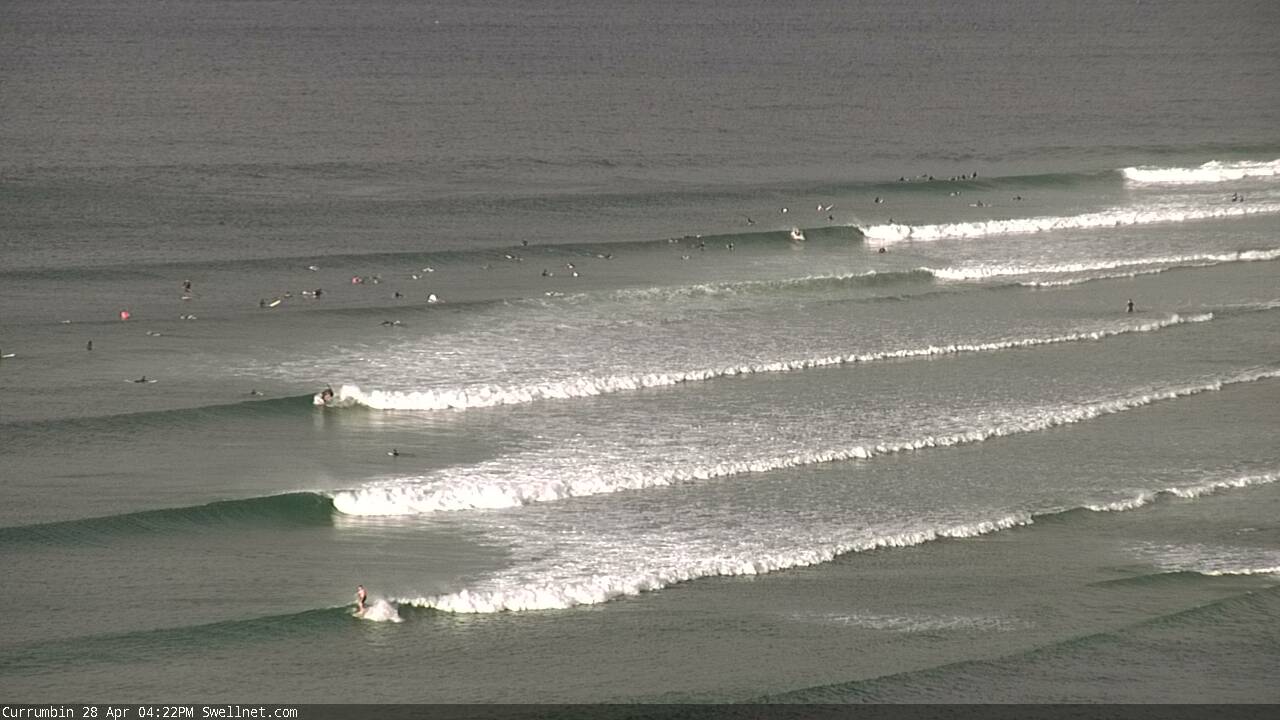
Coupla small winders at Currumbin this afternoon
This weekend (Apr 29 - 30)
The south swell currently on display across the region dropped rapidly across Southern NSW early this morning and we can expect a similar trend across our region into Saturday.
South facing beaches south of Byron will pick up the most size - specifically those between Byron and Coffs (south of here, we’ll see the easing trend kick in earlier), with dawn sets likely to be down to 4ft, easing throughout the day. Expect smaller surf at beaches with less southerly exposure.
North of the border, we’re looking at very small leftover S’ly swell across most beaches and outer points, only 1-2ft at best and very inconsistent, and also easing throughout the day. Exposed northern ends could see early 2-3ft sets but it’ll drop during the day here too.
A generally easing S’ly airstream should allow for a period of lighter SW winds across many regions on Saturday morning, before moderate southerlies redevelop from mid-morning onwards.
On Sunday, we’re likely to see another period of SW thru’ almost W/SW winds at dawn ahead of a moderate to fresh southerly change clipping the Northern NSW coast during the morning (earlier across the Mid North Coast than the Far North Coast). This will deteriorate conditions at open south facing beaches as the day progresses.
Wave heights will rebuild from 3ft to 3-4ft at south facing beaches south of Byron during the day, originating from two sources - a band of W/SW gales exiting eastern Bass Strait this evening, and a cold front passing south of Tasmania tonight and tomorrow. However once again, beaches with less southerly exposure will be much smaller.
North of the border, I am not expecting this new south swell to make much an impression so expect very small surf at most beaches and outer points, with perhaps just a few stray 2ft+ sets at exposed northern ends and south swell magnets by the afternoon (likely smaller in the morning). Conditions should be reasonable early under a moderate W/SW breeze, before the southerly kicks in.
Overall, don’t get your hopes up this weekend. But there will be waves if you look hard enough.
Next week (May 1 onwards)
Surf size will ease steadily through the start of next week, down from Sunday afternoon’s increase. South facing beaches south of Byron should see early 3-4ft sets, down to 2-3ft during the day, with smaller surf elsewhere. Conditions should be clean with morning offshore winds.
North of the border it’ll remain very small on Monday.
The weekend’s change is expected to stall off NZ’s West Coast on Sunday, and whilst not favourably aligned for our region, will generate a small new spread of south swell for south facing beaches in Northern NSW, probably sometime around Tuesday, or maybe early Wednesday. I’m not expecting much from this but occasional 2-3ft sets are possible at south swell magnets south of Byron. There won’t be much surf elsewhere though.
The remnants of this system will then track over New Zealand and may come close to regenerating within our swell window by Tuesday - just to the NE of New Zealand - but at this stage it looks like most of the fetch will remain within the swell shadow. So, no dice for us (yet). Let’s reevaluate on Monday.
Otherwise, moderate trades through the New Cal region early next week don’t look strong enough to be a reliable source for even the hardiest of Queensland swell magnets. So, the outlook remains tiny from our eastern swell window for some time.
Elsewhere, the next round of south swell will kick in from Wednesday afternoon or Thursday onwards, mainly favouring Northern NSW.
Initially, short range energy will make its presence felt as a front pushes up the coast, but by late in the day or early Thursday we’ll see some new long period energy from a polar low developing S/SW of Tasmania on Sunday. This system will remain right on the periphery of our southern swell window - and a long distance from the mainland too - so it’s not worth getting too excited about. And local winds will probably trash conditions at south facing beaches - so it’s not worth working around - but, it is worth noting in the event the local wind forecast switches between now and Monday’s updated notes.
Otherwise, we’re looking at strengthening S/SW winds through the entire Tasman Sea next week between an NZ low and a high west of Tasmania. This should generate anywhere between 4ft and maybe 6ft of mixed quality south swell, entered around Thursday, easing into the weekend. Certainly doesn’t look worthy of rearranging your diary for at this point in time. SE Qld outer points will probably be the best choice though only small due to the acute southerly direction, maybe some inconsistent 2ft+ sets on Thursday and early Friday if we're lucky. I ain't holding my breath though.
Have a great weekend.. see you Monday!
Comments
And so it begins...
Ben, thinking roadtrip to your area or Ballina Tue/Wed. What's your confidence on that 2-3ft swell around that time? Cheers