Fun clean surf at swell magnets down South

South Australian Forecast by Craig Brokensha (issued Friday 5th August)
Best Days: Swell magnets South Coast Saturday through Tuesday, Mid Coast for keen surfers Sunday afternoon and later Monday, South Coast Wednesday through Friday
Recap
A reinforcing W/SW groundswell kept good 2ft sets hitting the Mid Coast with all day offshores yesterday, while the South Coast cleaned up with workable waves at Goolwa and Parsons.
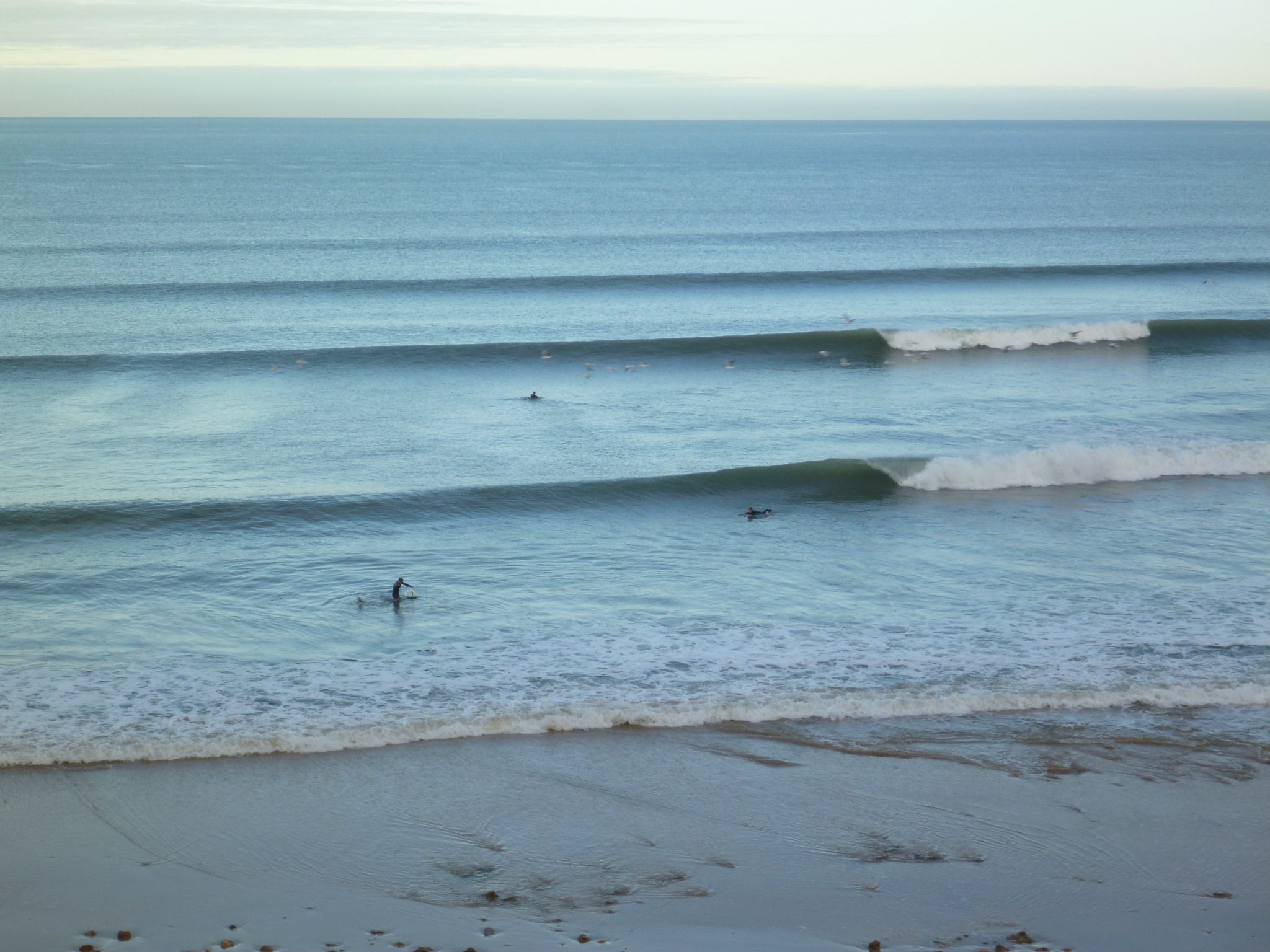
This morning the South Coast was the pick with clean glassy conditions and easing 2-3ft sets along the Middleton stretch. The Mid was perfect as well but only around 1ft.
This weekend (Aug 6 - 7)
The coming period will be all about the exposed beaches across the South Coast with small W/SW swells and winds from the northern quadrant.
This morning's W/SW swell is expected to ease this afternoon, dropping further from 1-1.5ft at Middleton and 2ft to possibly 3ft at Waits and Parsons tomorrow morning. The Mid will be tiny.
A new inconsistent W/SW groundswell is due Sunday, peaking through the middle of the day/afternoon, generated by a mid-latitude firing up towards WA earlier this week.
The South Coast will be tiny early, building back to 2ft at Middleton into the afternoon with 3-4ft sets at Waits and Parsons. The Mid should see 1-1.5ft sets on the afternoon incoming tide.
Conditions will be good most of tomorrow with a N'ly tending variable wind, and then persistent N/NE winds all day Sunday.
Next week onwards (Aug 8 onwards)
 The surf will drop back into Monday morning as offshore N'ly winds, persist, lighter into the afternoon.
Another pulse of slightly stronger W/SW groundswell is due into the afternoon though, produced by a slightly stronger but less favourably aligned polar front firing up on the backside of the mid-latitude front producing Sunday's swell.
Middleton is expected to see a late kick to 2ft+ at Middleton and 3-4ft+ at Waits and Parsons, easing back into Tuesday.
The Mid Coast may see 1-2ft sets on dark easing from 1-1.5ft Tuesday.
Early will be the go Tuesday with stronger N/NW tending W/NW breezes.
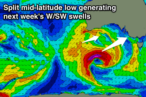
From Wednesday some better W/SW groundswell pulses are due from a splitting mid-latitude low firing up south-west of WA.
The splitting of this low isn't ideal with separate pulses of weaker W/SW swell due instead of one larger one.
The first from a fetch of severe-gale to storm-force W/SW core winds, filling in Wednesday and reaching 3-4ft at Middleton and 5-6ft at Waits and Parsons, while the Mid should see 2ft sets.
Some additional mid-period swell is expected Thursday as the remnants of the low push across us, but not above Wednesday's swell. Conditions look best in protected locations down South with a W/NW tending W/SW breeze Wednesday and NW winds Thursday. Northerlies are then due Friday, but we'll have a closer look at this Monday. Have a great weekend!